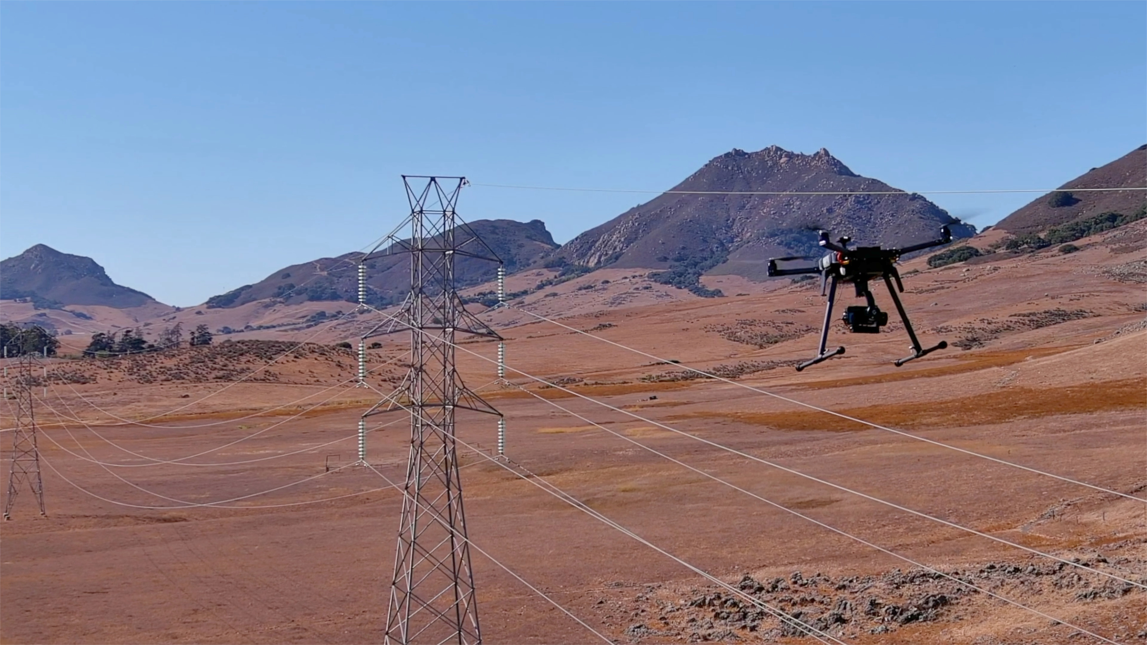
Catch errors instantly and fix them with one click—no re-flights.

Quality control has always been one of the biggest headaches in drone utility inspections. After flights, teams often discover that images don’t line up with mapped assets, GPS data is incomplete, or files have been misfiled by mistake. Traditional workflows leave analysts sifting through folders for hours, trying to guess where each photo belongs—or worse, sending pilots back into the field to re-fly missed assets. That means wasted time, wasted money, and delayed insights for critical infrastructure management.
Most drone software platforms don’t solve this—they simply flag errors and leave the burden of cleanup on your team. That might work for a handful of poles, but for utilities managing UAV power line inspections at scale, it’s a deal-breaker.
Utileyes eliminates the guesswork with Built-In QA. As photos are uploaded, our system automatically validates them against your mapped assets. If an image doesn’t match, Utileyes flags it immediately and suggests the most likely correct pole or tower for reassignment. With a single click, files can be corrected and reclassified—no manual detective work required.
Standout: Smart correction, not just error detection. By recommending the right reassignment folder based on GPS metadata and spatial context, Utileyes keeps your inspection data complete, clean, and ready for analysis—without re-flying or re-sorting.
For utilities focused on reliability, vegetation clearance, or fire mitigation, this level of quality assurance is critical. It ensures that every span, pole, and asset is accounted for and that no anomalies slip through the cracks.
The result is confidence at scale. Pilots can focus on flying, inspectors can focus on identifying issues, and managers can trust that their data is accurate from the start. With Built-In QA, Utileyes safeguards your utility drone program against costly mistakes and ensures your inspection workflows deliver actionable results every time.