


Your Entire Inspection Workflow, Transformed
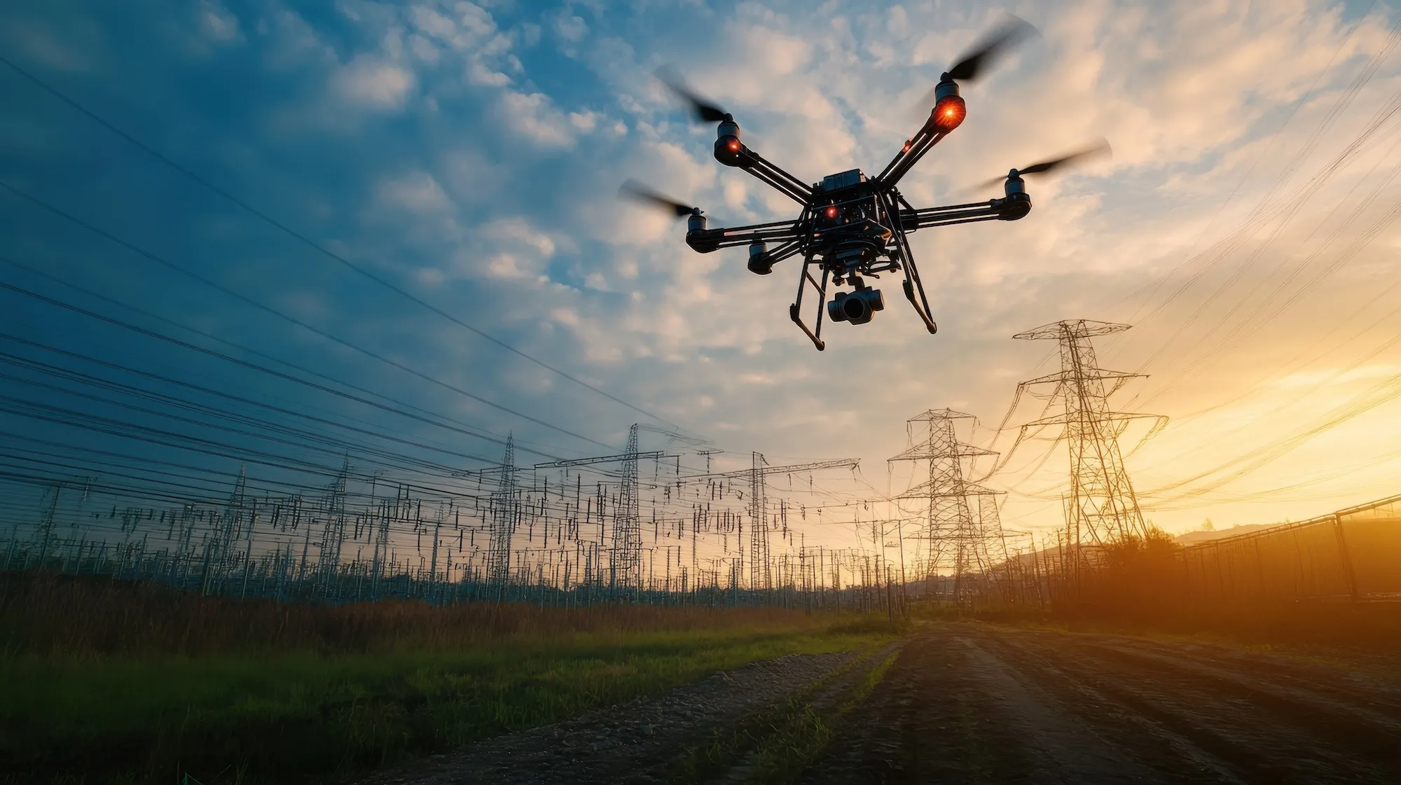
Running a utility drone inspection program shouldn’t mean juggling spreadsheets, multiple platforms, and endless hours of cleanup. At Utileyes, we built a purpose-driven workflow designed by utilities, for utilities. Each step—from mapping to reporting—eliminates common industry pain points, streamlines operations, and ensures inspections deliver real, actionable results.
Smart Asset Mapping
Turn scattered spreadsheets into a unified 3D inspection map.
Upload → Drop in KML/CSV files or GIS data.
Generate → Auto-create asset points in-flight if no map exists.
Visualize → Assets overlay onto a 3D topographic map.
Plan → Preplan access and coverage before leaving the office.
No more recreating maps from scratch. Your existing GIS data works seamlessly, saving hours of preparation time.
End spreadsheet confusion. Pilot assignments are visual, clear, and take seconds instead of hours to coordinate.
Preloaded Flight Plans
One click → pilot-ready flight plans, no patchwork tools required.
Create → Generate pilot-specific plans in Utileyes.
Download → Export plans directly from the platform.
Align → Plans sync with GIS data (ArcGIS, ESRI).
Fly → Pilots see assignments and flight path in one screen.
Pilots spend time flying, not planning. Professional flight plans ready in minutes, compatible with your existing drone fleet.
Universal compatibility. Your hardware investment is protected - Utileyes works with whatever drones you already own or plan to buy.
The 3-4 days pilots typically spend organizing photos after flights? Gone. Your team can inspect immediately.
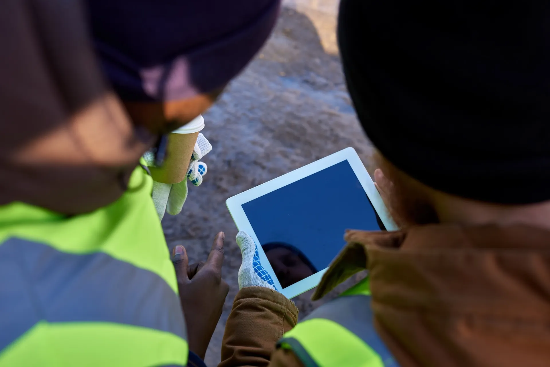
Customizable Inspections
Flexible forms built for your workflow, not someone else’s.
Select → Start with an industry-proven inspection template.
Customize → Add or edit fields to match your utility standards.
Adapt → Make real-time changes during inspections as needed.
Inspect → Capture data that reflects your actual workflow.
No surprises during inspection. Problems are identified and resolved immediately while the pilot is still available.
Severity Tagging
Tag issues by outage risk, fire hazard, or safety—your priorities first.
Detect → Identify issues during image review or thermal scans.
Tag → Apply severity ratings aligned to your utility’s standards.
Categorize → Flag issues by outage risk, safety hazard, or fire mitigation.
Dispatch → Send crews based on real priorities, not guesswork.
Consistent inspections across all team members using your utility's standards, not generic categories that don't fit your operations.
CSV Export & Integration
Seamless handoff into ArcGIS, ESRI, or your work order system.
Integration → Eliminates friction between drone data and utility systems.
CSV Export → Clean, ready-to-use data for instant workflow upload.
Interoperability → Seamlessly connects with your existing tools.
Actionable Data→ Turns inspections into real operational results.
From inspection finding to crew assignment in minutes. No delays, no manual report writing, no communication gaps.
Executive Dashboards
Real-time visibility into coverage, anomalies, and ROI.
Track → Monitor poles flown and inspections completed.
Analyze → Review anomaly severity levels and efficiency metrics.
Filter → Segment data by location, team, or time frame.
Decide → Make faster, informed decisions at the leadership level.
Consistent inspections across all team members using your utility's standards, not generic categories that don't fit your operations.
Traditional Process
3-4 weeks from flight to actionable work orders
Utileyes Process
15 minutes depending on inspection complexity

Labor Reduction
85% less manual processing time
Accuracy Improvement
95% reduction in data organization errors
By the Numbers
Other Ways We Can Help
Not every utility team starts at the same place. Whether you’re looking to accelerate inspections or organize existing drone data, Utileyes meets you where you are.
Real-Time Uploads & Inspections
Why This Matters
Unlike generic drone platforms, Utileyes was built by utilities, for utilities. Every step is intentional—removing pain points, eliminating wasted time, and ensuring data turns into real action. From field crews to executives, Utileyes makes drone utility inspections seamless, scalable, and impactful.