Seamless handoff into ArcGIS, ESRI, or your work order system.

One of the biggest frustrations utilities face with many drone inspection platforms is that their data gets stuck. Images may be organized and anomalies tagged, but exporting that information into the systems utilities already use—like ArcGIS, ESRI, or work order platforms—is often clunky, incomplete, or requires manual reformatting. This disconnect slows down workflows and makes it difficult to turn inspection data into real action.
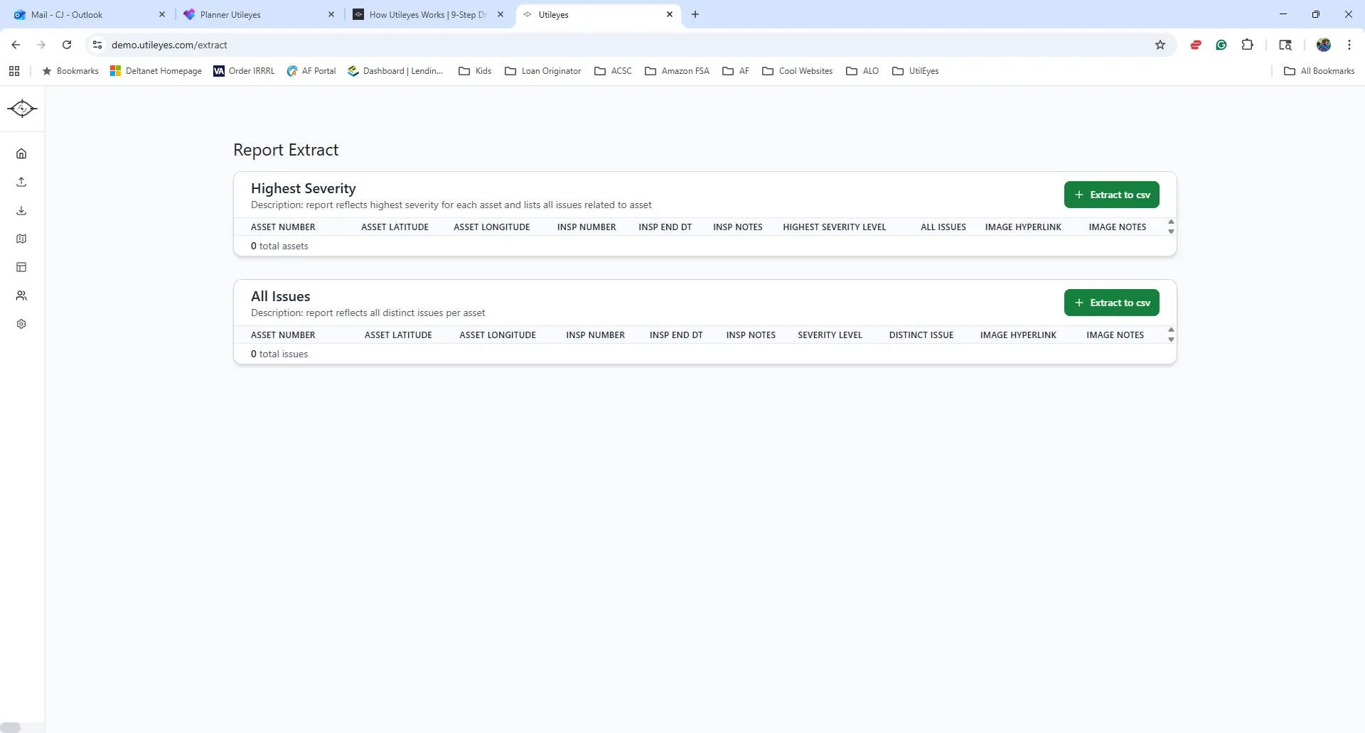
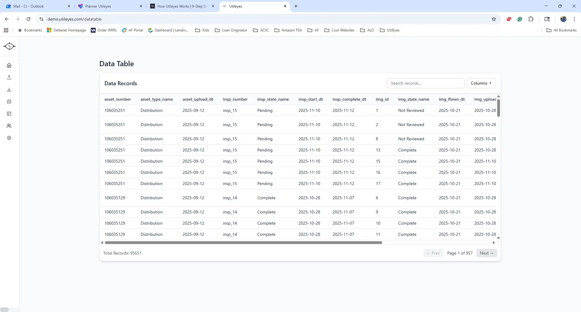
Utileyes solves this with seamless CSV Export & Integration. Every piece of inspection data—from image location and severity tags to inspection notes—can be exported in a clean, structured CSV format. These files are built to drop directly into your existing GIS or work order system without the need for messy conversions. That means fewer bottlenecks, fewer manual errors, and faster handoff to the teams who need the information most.
Standout: True interoperability. Utileyes was intentionally designed to play well with others. Instead of locking your data into a proprietary format or forcing you to juggle multiple tools, our platform makes integration simple. Export data at any stage of the inspection process—mid-flight, mid-inspection, or after final review—and share it instantly with your existing systems.
For utilities running drone powerline inspections in-house, this is a game-changer. It ensures that inspection findings flow directly into operational systems where they can trigger maintenance, support compliance, and feed into long-term asset planning. No wasted time. No rework. Just clean, usable data where you need it.
With Utileyes, your inspection data doesn’t just sit in a silo—it becomes a living part of your utility’s decision-making process.