

Data Workflow
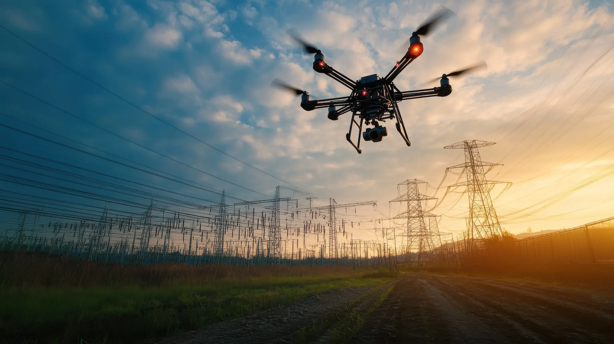
Many utilities invest in drone powerline inspections only to end up with folders full of unorganized images. Tens of thousands of photos pile up on memory cards, external drives, or legacy platforms—making it nearly impossible to review inspections, tag anomalies, or generate reports. Valuable data sits idle while risks remain in the field.
At Utileyes, we built our system to meet utilities where they are. Whether you’ve already been flying drones in-house or collected data through another platform, our software can take your existing backlog and transform it into an inspection-ready system in days—not months.
How it works
• Upload your raw drone inspection images directly into Utileyes.
• Our platform auto-sorts photos by location, pole, or span using GPS metadata.
• Inspectors can immediately review, tag, and prioritize anomalies.
• Move from raw drone data to meaningful insights your team can actually use.
Case Example: Mountain View Electric
Mountain View Electric had flown thousands of poles using another platform, but were left with more than a year’s worth of images that couldn’t be efficiently inspected or reported on. After switching to Utileyes, they uploaded their backlog of tens of thousands of photos. Within days, their data was clean, organized, and ready for immediate inspection. What once felt like an insurmountable “mountain of data” became a streamlined workflow producing actionable insights for their operations team.
With Utileyes, you don’t need to start over. You don’t need to lose the investment you’ve already made in drone utility inspections. You simply need a platform that can organize, structure, and unlock the value of the data you already have.