


Why Electric Utilities Are Losing Ground on Outage Prevention
The Problem
Invisible threats in energized equipment
Overheating connectors, stressed insulators, and failing hardware generate heat signatures before they fail — but standard visual inspections cannot see them.
Vegetation encroachment goes undetected
Trees and brush grow year-round. By the time ground crews spot the problem, contact may already be imminent — especially in fire-prone corridors.
Storm damage assessment takes too long
Sending crews into dangerous post-storm conditions is slow and risky. Without a rapid aerial picture, restoration planning stalls and outage minutes accumulate.
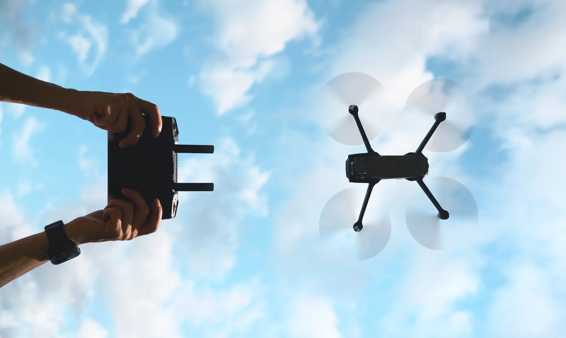
Outsourced vendors leave you reactive
Third-party drone providers control your inspection schedule. Report delivery can take weeks — too slow for wildfire season, storm response, or proactive maintenance planning.

Electric Utility Drone Inspection Software Built Around Four Critical Capabilities
Built with direct input from utility operators — designed to solve the problems your team actually deals with in the field.
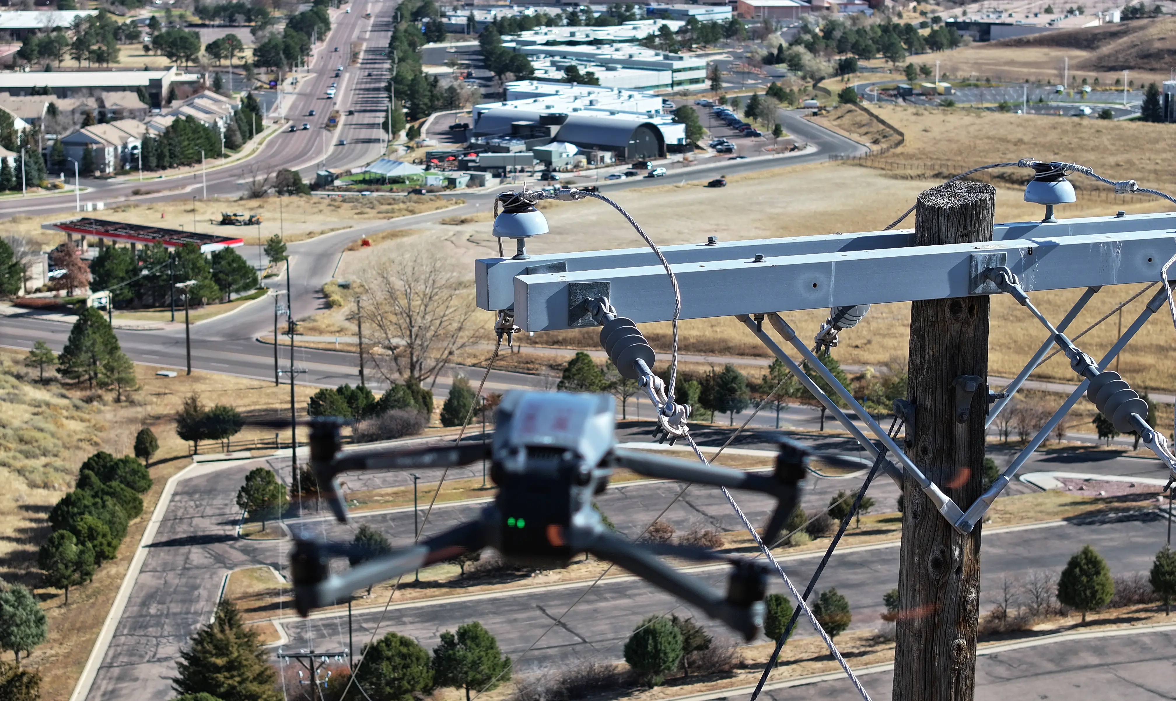
Storm Damage Assessment for Faster Power Restoration
An in-house drone team can deploy immediately after a weather event — without waiting on a vendor to schedule availability. Get a complete aerial damage assessment of downed lines, broken crossarms, and damaged poles before sending ground crews into unsafe conditions.
- Same-day damage reporting from flight to exportable report
- Prioritize restoration by severity and circuit impact
- Keeps crews out of dangerous terrain during initial assessment
- Photo documentation for insurance and regulatory filings
Thermal Hotspot Detection for Electric Utility Assets
Thermal drone inspections surface overheating connectors, failing insulators, and overloaded circuits before they cause equipment failure. Inspection teams can review thermal and RGB imagery side by side, rank anomalies by severity, and dispatch crews to the exact GPS location.
- Thermal and RGB image review in a single inspection workflow
- Severity ranking for immediate crew prioritization
- GPS-tagged anomalies for precise dispatch coordinates
- Supports radiometric thermal cameras for temperature data
.webp)
Vegetation Encroachment Monitoring Along Power Line Corridors
Aerial drone surveys give vegetation management teams a repeatable, documented view of encroachment along rights-of-way. Flag issues by severity so contractors focus on the highest-risk corridors first — with photographic evidence to back every work order.
- Repeatable flight routes for ongoing trend monitoring
- Encroachment flagged by proximity and fire risk level
- Photo evidence for vegetation contractor work orders
- Supports wildfire mitigation plan documentation
.webp)
Electric Utility Equipment Condition Tracking and Predictive Maintenance
Build a time-stamped, GPS-linked inspection history for every asset on your system. Review degradation trends across inspection cycles and use real condition data — not fixed schedules — to drive maintenance planning and capital investment decisions.
- Persistent asset photo archive for inspection-over-inspection
- Customizable inspection forms and scoring by asset type
- Export to GIS, EAM, and work order management systems
- Condition-based data to support capital planning

