



Why Telecom Operators Are Falling Behind on Network Reliability
The Problem
Tower climbs are slow, dangerous, and expensive
Sending technicians up a tower for routine inspection means risk exposure, OSHA scrutiny, scheduling delays, and significant per-climb cost. Most of what they document could be captured from the air in a fraction of the time.
Hidden heat in 5G and antenna equipment
Overheating radios, failing power amplifiers, and stressed connectors generate thermal signatures before they fail. Visual inspections miss them entirely, and the first symptom is often a service-affecting outage.
Fiber corridors are too long to walk
Aerial fiber spans, conduit routes, and tower-to-tower runs cover terrain that ground patrols cannot efficiently cover. Damage from weather, third-party contractors, or vegetation often goes undetected until a customer complaint arrives.
Vegetation along right-of-way drives outages and access loss
Brush and tree growth threatens both aerial fiber and access roads to remote tower sites. By the time ground crews flag it, contact or access failure may already be imminent.
Telecom Drone Inspection Software Built Around Four Critical Capabilities
Built with direct input from infrastructure operators: designed to solve the problems your field team actually deals with day to day.
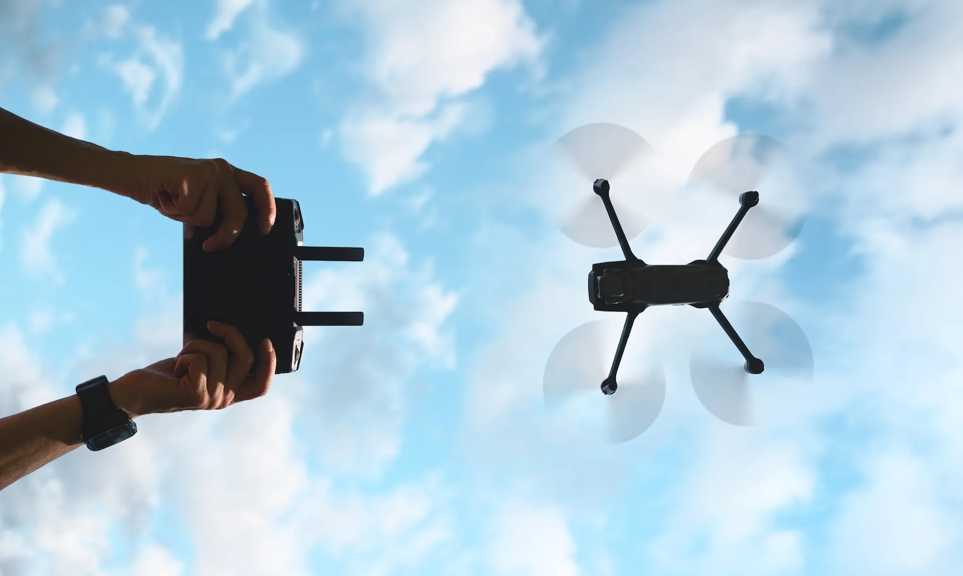
Fiber Infrastructure Monitoring Along Long-Haul Corridors
Aerial drone surveys give fiber operations teams a repeatable, documented view of aerial spans, conduit routes, and tower-to-tower runs. Identify damage, sag, or third-party encroachment along the entire corridor with photographic evidence to back every work order.
- Repeatable flight routes for ongoing corridor monitoring
- Damage and sag flagged by location and severity
- Photo evidence for splice crews and third-party damage claims
- Supports outside plant audits and as-built verification

Tower and Antenna Inspections Without the Climb
Capture every angle of a tower, antenna array, mounting hardware, and structural component from the air. Inspectors review high-resolution imagery from the ground, flag issues, and dispatch climbers only when a confirmed repair is needed.
- Full 360-degree imagery of tower structures and antenna arrays
- Reduces unnecessary climbs and associated safety exposure
- Documents bolt condition, weld integrity, and mounting hardware
- Photographic record for carrier audits and compliance filings
.webp)

5G and Antenna Equipment Thermal Analysis
Thermal drone inspections surface overheating radios, failing power amplifiers, and stressed connectors before they cause service degradation. Inspection teams review thermal and RGB imagery side by side, rank anomalies by severity, and dispatch technicians to the exact GPS location.
- Thermal and RGB image review in a single inspection workflow
- Severity ranking for immediate technician prioritization
- GPS-tagged anomalies for precise dispatch coordinates
- Supports radiometric thermal cameras for temperature data
.webp)

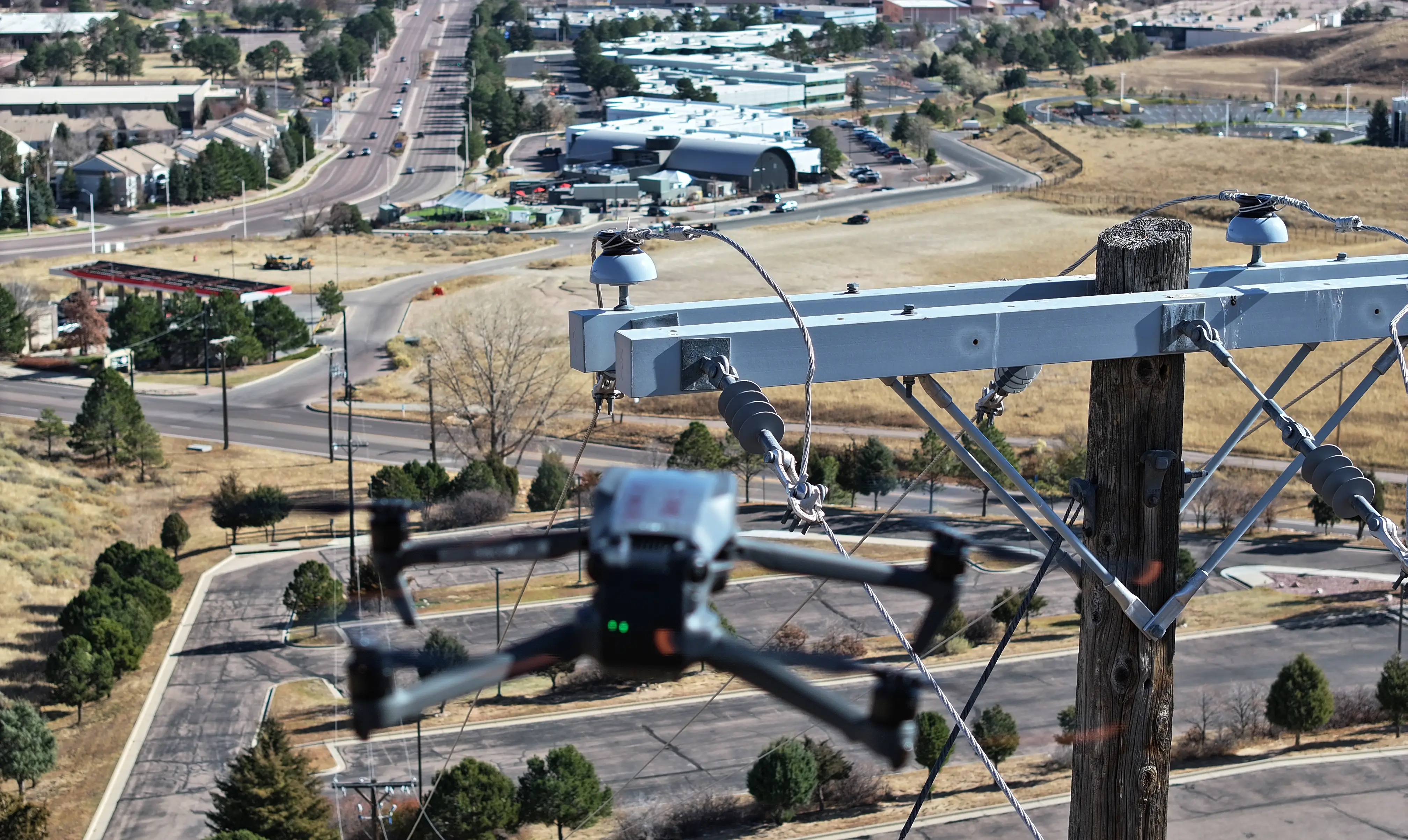
Right-of-Way Vegetation Management for Network Access and Reliability
Drone surveys give vegetation management teams a clear view of encroachment along access roads and aerial fiber spans. Flag issues by severity so contractors focus on the highest-risk corridors first, with photographic evidence supporting every work order.
- Repeatable flight routes for ongoing trend monitoring
- Encroachment flagged by proximity to assets and access routes
- Photo evidence for vegetation contractor work orders
- Supports access road maintenance for remote tower sites


