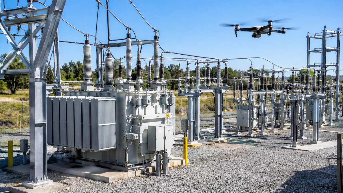
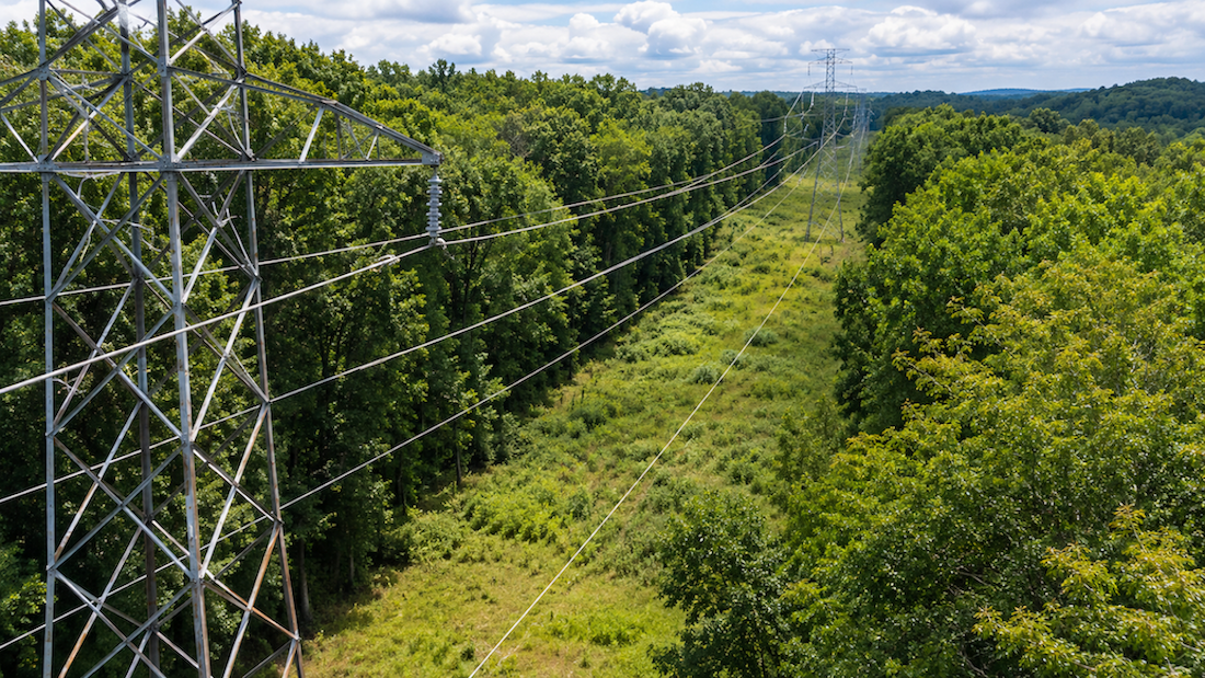
A LiDAR survey can show exactly where trees and brush sit along a corridor. It cannot send a crew to the spans that matter. For many vegetation teams, the distance between those two things is where risk keeps growing.
LiDAR vegetation management software closes that distance. Here is what the software does, how Utileyes brings LiDAR data into the same platform as drone inspection imagery, and what to ask before you choose a tool.
Quick Summary
- LiDAR vegetation management software connects survey data to the assets, imagery, and work orders that crews use.
- Utileyes lets utilities upload LiDAR data into the platform they already use for drone inspections, so vegetation findings are tied to asset and GPS location.
- Findings are ranked by severity, so budgets can follow actual conditions instead of fixed calendar cycles.
- RGB and thermal imagery confirm what LiDAR flags, and photo evidence stays attached to each finding.
- Reports export to CSV or sync with work order systems, and crews go to exact GPS coordinates.
What is LiDAR vegetation management software?
LiDAR vegetation management software takes laser-scanned survey data, ties it to the assets and locations on a utility system, ranks vegetation risk by severity, and turns findings into work for crews and contractors. LiDAR shows where vegetation sits relative to lines and structures. The software connects that picture to a decision and a dispatch.
Without that connection, a survey is a large dataset waiting for someone to interpret it.
Why does LiDAR data stall before it reaches the field?
LiDAR surveys produce massive datasets, and the deliverables often live in a separate system from inspection data. When findings are not tied to specific assets and work orders, they rarely reach the field quickly.
Two habits make the delay worse. Fixed trim cycles treat every corridor alike, even though high-risk spans can encroach well before the next scheduled trim. And without consistent severity data across the system, vegetation budgets tend to be spread evenly instead of aimed at the corridors most likely to cause an outage or an ignition.
How does Utileyes move LiDAR data from upload to dispatch?
Utileyes runs LiDAR data and drone imagery through one five-step workflow, and utilities can move from finding to field action in as little as 15 minutes.
- Upload and map. Upload LiDAR data along with a KML or CSV asset file, and Utileyes maps your corridors and assets in one view.
- Fly and capture. Pilots capture RGB and thermal imagery on targeted corridors, with GPS metadata embedded in every photo.
- Process and organize. LiDAR data is processed, and imagery is sorted automatically by asset and GPS location.
- Identify and prioritize. Vegetation risks are flagged and ranked by severity so the highest-risk spans rise to the top.
- Report and dispatch. Reports export to CSV or sync with your work order system, and crews are sent to exact GPS coordinates.
Why pair LiDAR findings with drone imagery?
LiDAR tells you where vegetation is. Imagery tells you what a crew will find when it arrives. Pairing RGB and thermal photos with LiDAR findings lets reviewers confirm conditions before anyone is dispatched, and it leaves a photo record attached to every finding.
Surveys are also repeatable. The same corridors can be checked again over time, which lets teams watch for trends instead of treating each survey as a one-time event.
What do you need to get started with LiDAR vegetation management?
Utileyes needs two inputs to begin: your LiDAR data and a KML or CSV file of your assets. From there, pilots fly targeted corridors to capture imagery. Utileyes states that utilities can go from program kickoff to first live inspection flights in less than 30 days.
What should you ask before choosing LiDAR vegetation software?
- Can we upload LiDAR data into the same platform our team already uses for inspection imagery?
- Are vegetation findings tied to specific assets and GPS locations?
- Can we rank findings by severity and customize the inspection forms and scoring?
- Does the platform export to GIS, EAM, and work order management systems?
- Can we verify completed contractor work with follow-up surveys?
Where the Survey Ends and the Work Begins
A LiDAR survey is only the starting point. The value shows up when a flagged span becomes a ranked finding, a work order, and a crew on site. If your LiDAR deliverables sit apart from your inspection data, schedule a demo to see how Utileyes puts them in one workflow.
Frequently Asked Questions
What data does Utileyes need for LiDAR vegetation analysis?
Utilities upload LiDAR data along with a KML or CSV asset file. Utileyes maps the corridors and assets in one view and processes the LiDAR data to flag vegetation risk.
Does LiDAR replace drone imagery for vegetation inspections?
No. The two work together. LiDAR flags where vegetation is a concern, and RGB or thermal imagery confirms conditions and documents what crews will find on site.
Can LiDAR vegetation findings go straight into work orders?
Yes. Findings export to GIS, EAM, and work order management systems with GPS coordinates and photo documentation attached, so crews and contractors can be dispatched to the exact location.
How does severity ranking change vegetation budgets?
Ranked findings show which spans need attention now and which can wait. That lets teams direct trimming budgets toward high fire-risk and outage-prone circuits instead of spreading effort evenly by calendar.
How long does it take to start a program?
Utileyes reports less than 30 days from program kickoff to first live inspection flights.
Luke verification note (internal, remove before publishing):
- Confirm LiDAR upload and processing is live for all customers, and whether any LiDAR file formats or sources should be named or excluded. None are claimed in this post.
- Confirm the "less than 30 days to first live inspection flights" figure applies when LiDAR is part of the program.
- Confirm EAM export is available for vegetation findings, as stated on the Vegetation Management page.
- No case study figures, dollar amounts, or named utilities are used. Confirm none are wanted.
- Reminder: the site footer still contains leftover Webflow template artifacts (Sensa/StaticMotion links, placeholder CMS and career pages) that are publicly crawlable.