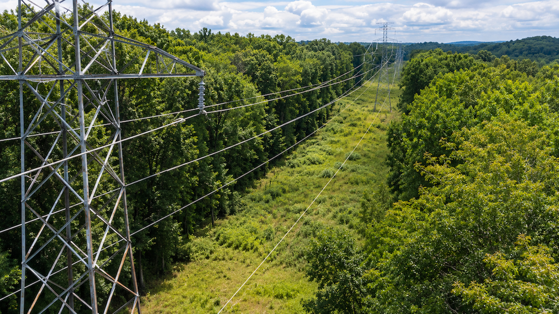
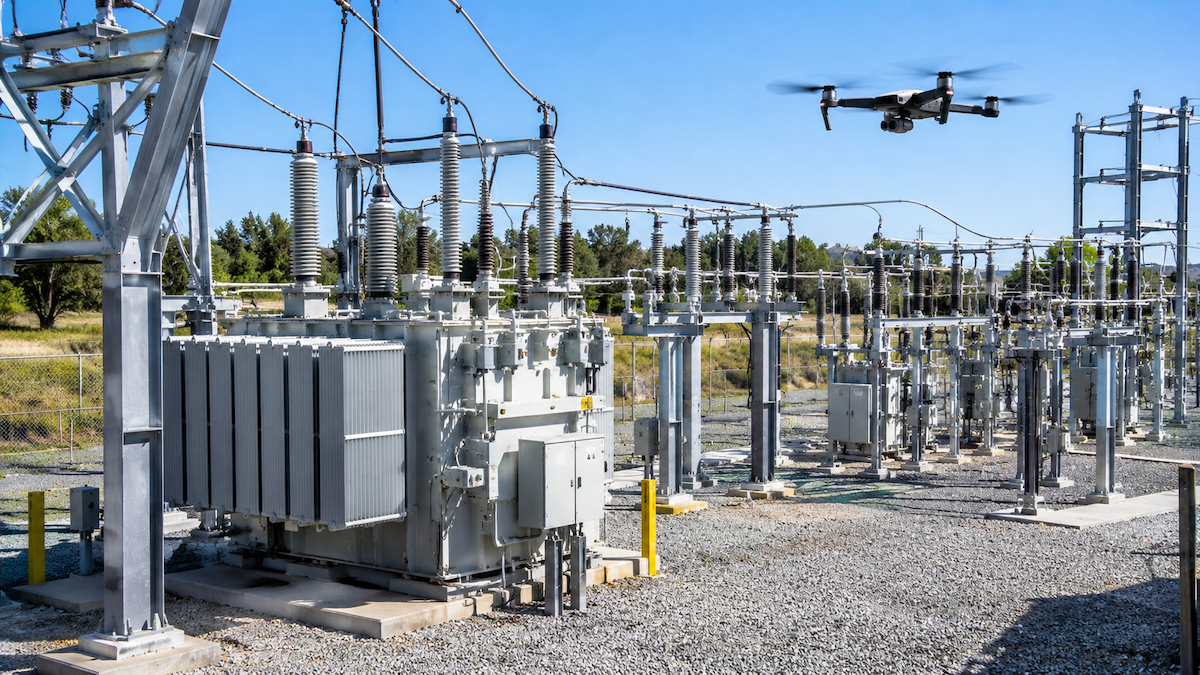
Storm season does not wait for a convenient time to reveal which poles, crossarms, and spans on a system are still vulnerable. Storm hardening, the practice of finding and fixing weak points in utility infrastructure before severe weather arrives, has traditionally relied on slow ground patrols that cannot cover enough circuit miles before the season starts. Drone and thermal imagery inspection, paired with software that automatically organizes and prioritizes what crews find, gives utilities a faster path to a pre-storm inspection program. This guide covers what to inspect, how to build a pre-storm plan, and how inspection software closes the gap between flight and fix.

Quick Summary
- Storm hardening means finding weak poles, hardware, and vegetation risks before a storm hits, not counting damage after one has already passed.
- Drone and thermal imagery let crews cover more circuit miles ahead of storm season than ground patrols alone, in less time.
- Inspection software automatically sorts and GPS-matches photos to the correct pole, span, or structure, so findings do not get buried in a folder of images.
- Flagged defects convert directly into work orders, so crews can fix the highest-risk items before the season starts instead of after.
- Utileyes integrates with ArcGIS and Esri, so storm-hardening findings line up with the asset records utilities already maintain.
- Manual photo sorting alone typically takes three to four days per inspection cycle; Utileyes brings that down to about 15 minutes.
- Most users become proficient with the software within a day, so a pre-storm rollout does not have to eat into prep time.
- A repeatable pre-storm inspection plan gives utilities a documented baseline to compare against once a storm has passed.
What Is Storm Hardening and Why Timing Matters
Storm hardening is the proactive side of storm readiness: inspecting poles, hardware, vegetation, and substations before severe weather to find and fix the weak points most likely to fail under wind, ice, or saturated ground. It is a different exercise than post-storm damage assessment, which documents what already broke after a storm has passed. The two are related, but they run on opposite schedules and answer different questions. Storm hardening asks, "what is most likely to fail next," while damage assessment asks, "what already failed."
Timing is what makes storm hardening hard to execute well. A utility typically has a defined window, often measured in weeks, to inspect a large footprint of poles, lines, and substations before a storm season begins. Ground patrols are thorough but slow, and they compete with every other crew priority on the calendar. Drone inspection shortens the time needed to physically cover the territory, but the real bottleneck for most programs is what happens after the flight: sorting thousands of photos, matching them to the right asset, and turning flagged problems into a prioritized repair list fast enough to act before the window closes.
What to Inspect Before Storm Season
A pre-storm inspection should cover the components most likely to fail under wind load, ice accumulation, or saturated soil. The categories below map to the asset types utilities commonly fly ahead of storm season.
Poles and Structural Hardware
- Visible lean, cracking, or splitting along the pole shaft
- Woodpecker damage or decay at the ground line and upper pole
- Pole-top hardware condition, including caps, brackets, and through-bolts
Crossarms, Guy Wires, and Anchors
- Crossarm sag, cracking, or loose braces
- Guy wire tension and visible fraying or corrosion
- Anchor condition at the ground connection point
Vegetation and Line Clearance
- Overhanging limbs and danger trees within falling distance of conductors
- Vegetation growing into clearance zones since the last cycle
- Encroachment that is easy to miss from the ground but visible from the air
Substations and Critical Equipment
- Thermal signatures at connectors, bushings, and transformers that can indicate a developing fault
- Loose or corroded hardware on structures and fencing
- Drainage and grounding conditions that worsen in heavy rain
Pre-Storm Inspection vs. Post-Storm Damage Assessment
These two inspection types are often confused because they use the same equipment, but they serve different purposes on different timelines.
- Pre-storm inspection: Runs on a planned schedule ahead of a storm season. The goal is to find and prioritize weak points before they fail, so crews can make repairs on a normal work order timeline rather than an emergency one.
- Post-storm damage assessment: Runs immediately after a storm. The goal is to count and locate damage as fast as possible so restoration crews know where to go first.
A utility that runs both gets a before-and-after record: a documented baseline from the pre-storm flight, and a damage count from the post-storm flight, tied to the same assets in the same system.
How Drone Inspection Software Speeds Up Pre-Storm Prep
The flight is rarely the slow part of a pre-storm program. The slow part is everything that happens afterward: sorting photos, matching them to the correct asset, and getting findings in front of the right reviewer in time to act. Utileyes is built to automate that stage of the workflow. Photos are automatically sorted and GPS-matched to the pole, span, or structure they belong to, and anomalies are flagged for review instead of requiring someone to scroll through every image by hand.
That automation is where most of the time savings come from. Utileyes reduces manual processing time by 85% and cuts data organization errors by 95% compared to manual review. On the photo organization step specifically, a process that typically takes three to four days by hand comes down to about 15 minutes. Looking at the full cycle, from photo capture to a dispatch-ready work order, Utileyes compresses a process that can take three to four weeks manually into about 15 minutes. For a pre-storm program working against a fixed seasonal deadline, that difference determines how many at-risk assets actually get fixed before the first storm of the season.
Working With ArcGIS, Esri, and Work Order Systems
Pre-storm findings are only useful if they land in the systems a utility already uses to plan and track repairs. Utileyes integrates with ArcGIS and Esri, so flagged defects and their GPS coordinates line up with existing asset records instead of creating a parallel spreadsheet to reconcile later. Confirmed issues convert into work orders that export into a utility's existing work order and asset management systems, keeping storm-hardening repairs in the same queue as every other maintenance item instead of a separate, easy-to-lose list.
Quick Answer: How to Prepare for Storm Season With Drone Inspections
To prepare for storm season with drone inspections, a utility maps the circuits and substations most exposed to seasonal weather, flies those assets with RGB and thermal payloads, lets inspection software sort and flag the results, converts confirmed defects into prioritized work orders, and completes repairs before the season's typical onset window closes.
- Identify the circuits, poles, and substations with the highest exposure to seasonal wind, ice, or flooding risk.
- Schedule drone flights with RGB and thermal payloads early enough in the pre-storm window to leave time for repairs.
- Let inspection software automatically sort and GPS-match photos to each asset as flights are completed.
- Review flagged defects and rank them by severity.
- Convert the highest-priority findings into work orders and route them to crews.
- Export confirmed findings to GIS and work order systems to keep the asset record current.
- Re-fly the same assets after the storm to compare against the pre-storm baseline.
- Storm hardening is proactive; damage assessment is reactive.
- Thermal imagery catches heat signatures that visible-light photos miss, especially at substations.
- Automated photo sorting is usually the biggest time savings in a pre-storm program, not the flight itself.
- Confirmed defects should flow directly into work orders and existing GIS systems, not a separate spreadsheet.
- A documented pre-storm baseline makes post-storm damage assessment faster and more accurate.
Conclusion
Storm hardening works best as a repeatable, scheduled program rather than a one-time push before a single bad season. The flight itself is the easy part; what separates a pre-storm program that finishes on time from one that runs out of runway is how quickly photos turn into prioritized, dispatch-ready work orders. Software that automatically sorts and GPS-matches images, flags defects for review, and exports confirmed findings into existing GIS and work order systems gives utilities a realistic shot at fixing the highest-risk assets before a storm, not just documenting the damage after. Utilities that want to see how this workflow fits their own pre-storm timeline can schedule a demo to walk through it with the Utileyes team.
Frequently Asked Questions
What is storm hardening for utilities?
Storm hardening is the practice of inspecting and reinforcing utility infrastructure, including poles, hardware, vegetation clearance, and substations, before severe weather arrives, so that the weakest points are identified and repaired ahead of a storm rather than after one.
How is pre-storm inspection different from post-storm damage assessment?
Pre-storm inspection is proactive and runs on a planned schedule to find weak points before a storm, while post-storm damage assessment is reactive and runs immediately after a storm to count and locate damage for restoration crews.
Can drone inspections replace ground patrols for storm prep?
Drone inspections cover more circuit miles faster than ground patrols and add thermal visibility that ground crews cannot see with the naked eye, which is why many utilities use drone inspection as the primary method for pre-storm surveys rather than a supplement to them.
How long does a pre-storm drone inspection program take to get running?
Most users become proficient with Utileyes within a day, and the photo-to-dispatch cycle for confirmed findings runs about 15 minutes once flights are complete, so the limiting factor is usually flight scheduling rather than software adoption.
What happens to the defects found during a pre-storm inspection?
Flagged defects are reviewed, ranked by severity, and converted into work orders that export into a utility's existing work order and asset management systems, along with ArcGIS and Esri for GIS records, so repairs are tracked the same way as any other maintenance item.
Ready to see how a pre-storm inspection workflow would fit your system? Schedule a demo with the Utileyes team.