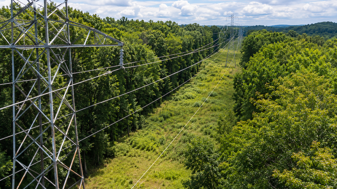
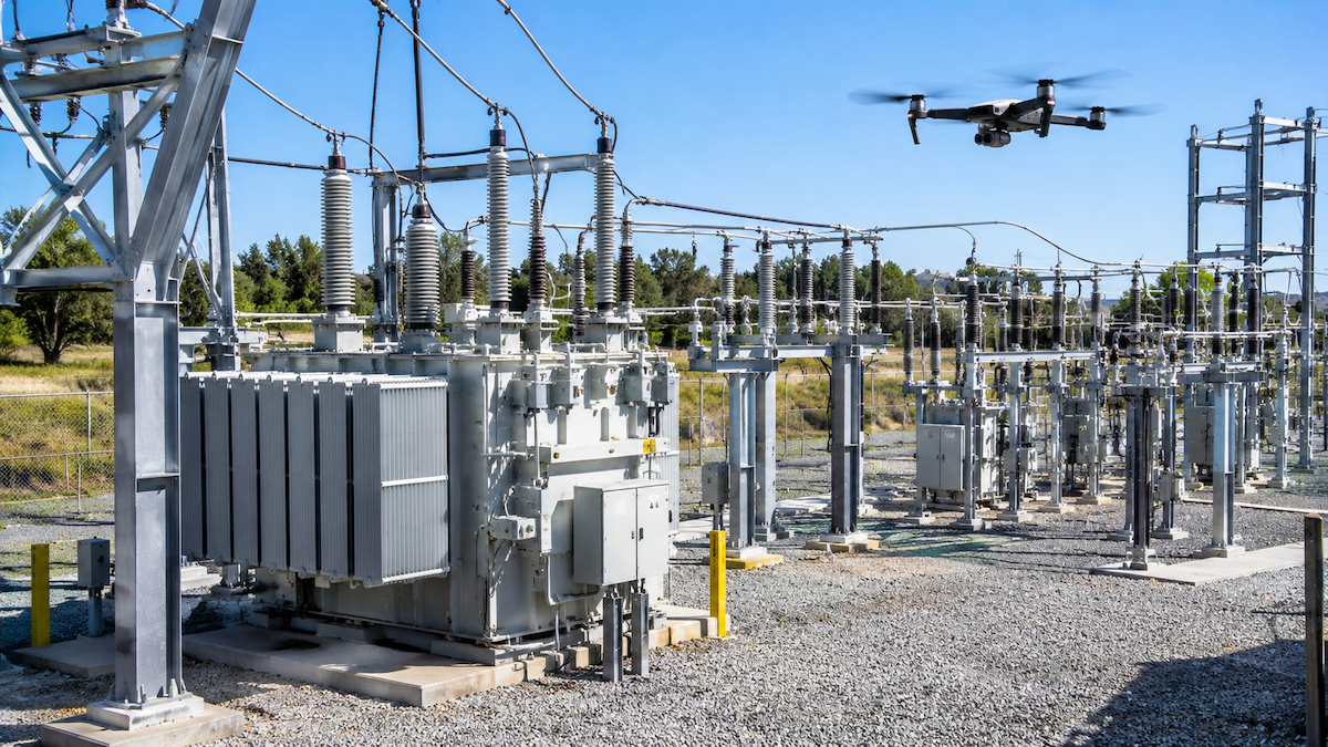
When a major storm knocks out power across a service territory, the fastest path back to service starts with knowing exactly what is damaged and where. Storm response inspection software gives utilities a way to turn thousands of post-storm drone photos of poles, lines, and substations into an organized, prioritized set of repair work orders, instead of leaving crews to sort through imagery by hand while customers wait. This guide covers how storm response inspection software works, what to inspect first after a major weather event, how the resulting data connects to GIS and work order systems, and what to look for when evaluating a platform built for rapid damage assessment.
Quick Summary
What Is Storm Response Inspection Software?
Storm response inspection software is purpose-built to take large volumes of drone and thermal imagery captured right after a storm, wind event, or other widespread outage, and convert that imagery into information crews can act on. Rather than a person manually reviewing each photo against a map of the service territory, the software automatically sorts images by location, matches them to the correct pole, line segment, or substation asset, and flags anything that looks like storm damage for human review. The result is a prioritized list utilities can use to plan repairs, instead of a folder of unsorted images.
Why Speed Matters More After a Storm Than During Routine Inspections
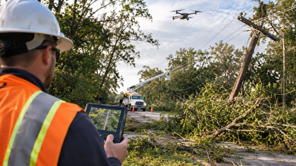
Routine inspection programs are built around a schedule: utilities plan flights months in advance, review imagery on a normal cadence, and convert findings into maintenance work over weeks. Storm response inverts that. Outages are already affecting customers, crews are staged and waiting for direction, and every hour spent manually sorting photos is an hour restoration work is not happening. Software that automatically organizes and flags storm imagery removes that bottleneck, turning a pile of raw photos into an ordered set of repair priorities without waiting on manual review to catch up.
What to Inspect First After a Major Storm
Utileyes is built to inspect the full range of utility infrastructure that storms typically affect, including:
Because storm damage rarely respects a single asset type, software that can organize and flag imagery across poles, lines, substations, and other infrastructure in one workflow keeps restoration teams from having to switch between separate tools mid-response.
How Drone-Based Storm Damage Assessment Works
Step 1: Fly and Capture
Drone crews fly the affected feeders, substations, or other infrastructure and capture standard and thermal imagery of the assets in the storm's path.
Step 2: Automatic Sorting and GPS-Matching
Instead of a person manually renaming and filing each photo, the software automatically sorts images and GPS-matches them to the correct asset in the utility's records.
Step 3: Defect Flagging for Review
The software flags images that show likely damage or anomalies, so reviewers spend their time confirming and prioritizing flagged issues instead of searching for them.
Step 4: Work Order Conversion
Confirmed issues convert directly into work orders that can be dispatched to repair crews, with the asset location and imagery attached.
From Photo to Dispatch: What the Software Actually Automates
The manual version of this process, sorting and matching photos to assets by hand, checking each one for damage, and writing up work orders, typically takes three to four weeks from the time photos are captured to the time a work order reaches a crew. With Utileyes, that same photo-to-dispatch cycle typically takes about 15 minutes once imagery is uploaded, because sorting, GPS-matching, and defect flagging happen automatically instead of one photo at a time. Looked at narrowly, just the photo-organizing step, which is normally three to four days of manual sorting on its own, is handled in that same automated window. Utilities also see roughly 85% less manual processing time and about 95% fewer data organization errors compared with manual review, which matters during a restoration effort when accuracy affects where crews get sent.
Integrating Storm Response Data with GIS and Work Order Systems
Storm response data is only useful if it reaches the systems utilities already run restoration through. Utileyes integrates with ArcGIS and Esri, so GPS-matched imagery and flagged defects line up with the asset records utilities already maintain there. Flagged issues also export into work order and asset management systems, so a confirmed piece of storm damage becomes a dispatchable work order without someone re-keying location and asset details by hand.
Routine Inspection Programs vs. Storm Response Deployments
FactorRoutine InspectionStorm ResponseTimingScheduled, planned in advanceUnplanned, triggered by a weather eventUrgencyMaintenance planning cadenceActive outage, crews waiting on directionVolumeSteady, predictable imagery volumeLarge volume concentrated in a short windowGoalIdentify wear and defects before failureIdentify and prioritize storm damage for repair
The underlying software capabilities, automatic sorting, GPS-matching, and defect flagging, are the same in both cases. What changes is how quickly a utility needs that data turned into action.
What to Look For When Evaluating Storm Response Inspection Software
Cost is also a consideration, though utilities evaluating storm response software are generally comparing the significantly lower cost of an in-house, software-driven inspection workflow against the cost of manual review or fully outsourced storm assessment, rather than a single fixed price point.
Featured Snippet: Storm Response Inspection Software at a Glance
Storm response inspection software automatically organizes drone and thermal imagery captured after a storm, GPS-matches each photo to the correct utility asset, flags likely damage for review, and converts confirmed issues into dispatch-ready work orders, cutting a process that can take three to four weeks manually down to about 15 minutes.
How storm response inspection software works, step by step:
Key benefits of storm response inspection software:
Conclusion
Storm response is where the gap between manual and software-driven inspection shows up most clearly. When customers are without power and crews are waiting on direction, the time it takes to turn a drone survey into a work order is not a back-office detail, it is part of the restoration timeline itself. Utileyes was built by utility and drone industry veterans, including a co-founder who also co-founded one of the top drone service providers in the country, specifically to close that gap: automatically sorting and GPS-matching imagery, flagging likely damage, and exporting confirmed issues into the GIS and work order systems utilities already rely on. For utilities evaluating storm response inspection software, the practical next step is looking at how a platform performs on GPS-matching accuracy, defect-flagging reliability, and integration with existing ArcGIS, Esri, and work order systems, since those three factors determine how much time is actually saved when the next storm hits.
Frequently Asked Questions
How is storm response inspection different from routine utility inspection software?
The core software capabilities, automatic photo sorting, GPS-matching, and defect flagging, are the same. The difference is urgency and volume: storm response involves a large amount of imagery that needs to become actionable work orders quickly, while routine inspection follows a planned maintenance schedule.
How quickly can utilities get repair work orders after a storm?
With automated sorting, GPS-matching, and defect flagging, the photo-to-dispatch cycle typically takes about 15 minutes once imagery is uploaded, compared with three to four weeks for a fully manual process.
Does storm response inspection software integrate with GIS systems utilities already use?
Yes. Utileyes integrates with ArcGIS and Esri, so GPS-matched imagery and flagged issues align with the asset records utilities already maintain in those systems, and it exports flagged issues into work order and asset management systems.
What utility assets does storm response drone inspection cover?
Utility poles, distribution and transmission line infrastructure, substations, wind turbines, solar farms, and telecom towers, depending on which assets are in the storm's path.
How long does it take crews to learn storm response inspection software?
95% of users become proficient within a day, which is particularly useful during a restoration effort when utilities may be relying on additional or temporary staff.
Ready to see how storm response inspection could work for your restoration process? Schedule a demo with our team to walk through it.