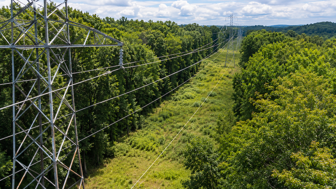
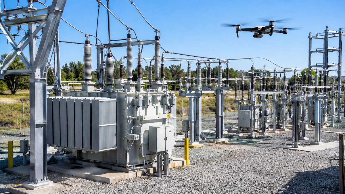
Transmission corridors can stretch for hundreds of miles across terrain that no bucket truck can reach, and a single missed connector fault or damaged insulator can lead to an outage affecting thousands of customers. When a drone crew returns from a transmission line flight with several thousand thermal and visual images, sorting through them by hand is usually where inspection programs lose the most time. This guide looks at what transmission line inspection software actually needs to do, which features separate a capable platform from a basic photo viewer, and how transmission inspection workflows differ from distribution pole inspections.
Quick Summary
What Is Transmission Line Inspection Software?
Transmission line inspection software takes the raw output of a drone or thermal imaging flight, usually thousands of photos and video frames per line segment, and turns it into organized, dispatch-ready inspection data. Instead of a technician manually renaming files, matching each photo to a tower or span, and building a spreadsheet of findings, the software automatically sorts and GPS-matches imagery to the correct structures and components. It then flags anomalies such as damaged insulators, corroded hardware, vegetation encroachment, or thermal hotspots on conductors and connectors for human review.
The goal is to remove the manual processing bottleneck between the drone flight and the moment a repair crew has a clear, prioritized work order. For transmission assets specifically, that means handling structures that are taller and more complex than distribution poles, spans that run for miles between towers, and inspection volumes that scale quickly across a utility's transmission network.
Why Transmission Lines Need a Different Inspection Approach
Longer Spans and Remote Corridors
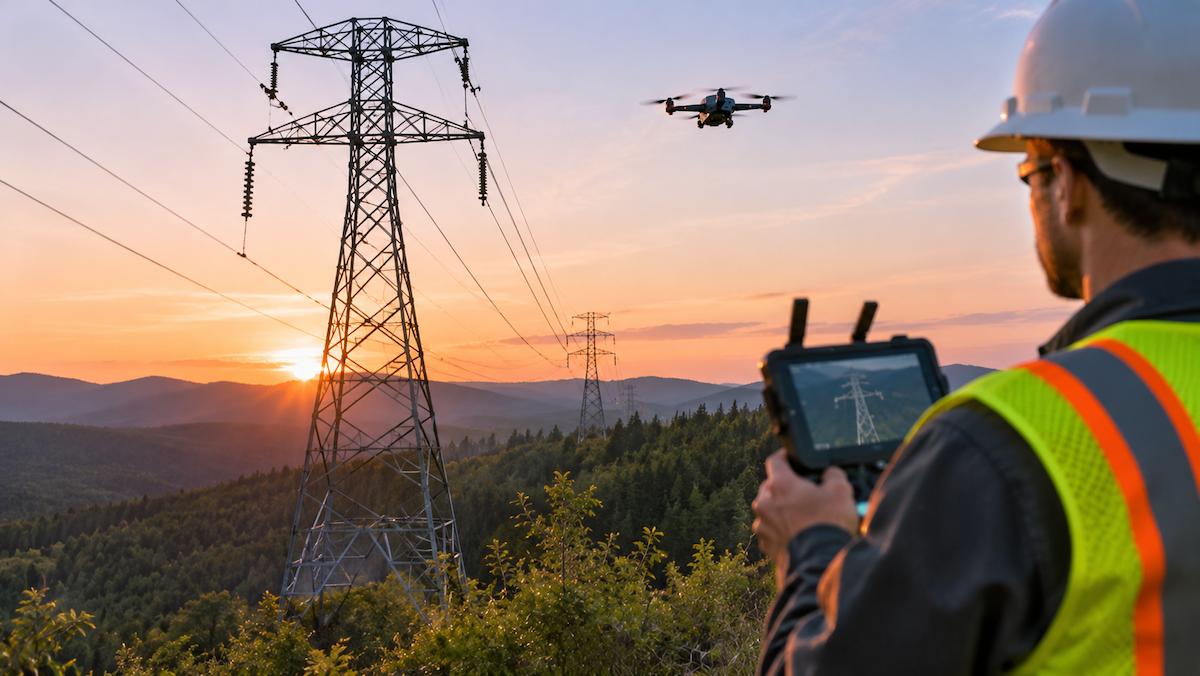
Transmission lines often run through terrain that is difficult or impossible to access by vehicle, crossing rivers, mountains, and undeveloped land between substations. Drone and thermal imagery inspection lets crews cover these corridors without a physical climb or a helicopter patrol for every segment, but it also means each flight generates a large volume of imagery that has to be organized efficiently.
Taller Structures, More Components
A transmission tower carries more hardware than a distribution pole, including multiple conductors, insulator strings, shield wires, and connection points at various heights. Software built for transmission inspection needs to match each image to the correct structure and component, not just the correct pole, so a flagged defect points a crew to the exact location that needs attention.
Higher Stakes for Outages and Wildfire Risk
Because transmission lines carry power across a wider service area, a failure has a larger footprint than a single distribution pole issue. Utilities inspecting transmission infrastructure for wildfire mitigation, storm hardening, or routine compliance need inspection data that is organized, searchable, and easy to hand off to the teams responsible for repairs.
Key Features to Look for in Transmission Line Inspection Software
Automatic Photo-to-Asset GPS Matching
Every photo from a transmission flight should be automatically matched to the correct structure using GPS data, rather than requiring a technician to manually cross-reference coordinates against a line map. This is the step that most directly determines whether the three to four days of manual photo-sorting work per flight can be eliminated.
Defect and Anomaly Flagging
Look for software that reviews imagery and flags likely defects, such as damaged hardware, broken insulators, or thermal anomalies on conductors and connectors, so engineers can focus their review on flagged exceptions instead of every frame captured during the flight.
ArcGIS and Esri Integration
Utilities that already manage their transmission network in ArcGIS or Esri need inspection software that plugs into that environment rather than asking teams to maintain a second, disconnected system of record for asset location and condition data.
Work Order Conversion
Once a defect is flagged and confirmed, the software should let a reviewer convert it directly into a work order that a field crew or asset management system can act on, without re-entering the same information into a separate ticketing tool.
Dispatch-Ready Reporting
The end output of an inspection should be a report or dataset that is ready to hand off, not a folder of images that still needs to be interpreted. This is what allows a photo-to-dispatch cycle to move in minutes rather than weeks.
How Drone and Thermal Imagery Fit Into Transmission Line Inspections
Visual imagery is useful for identifying physical damage, such as cracked insulators, broken strands, or vegetation growing too close to a conductor. Thermal imagery adds a layer that visual inspection alone cannot provide: it can reveal hotspots at connectors, splices, and other hardware that indicate a developing fault before it causes a failure. Transmission line inspection software should be able to ingest both image types and match them to the same asset record, so a reviewer sees the visual and thermal picture of a given structure together rather than as separate, disconnected files.
Transmission vs. Distribution Line Inspection Software: What's Different
FactorTransmission LinesDistribution LinesStructure height and complexityTaller towers, multiple conductors and insulator strings per structureShorter poles, fewer components per structureSpan lengthCan run for miles between structures, often through remote terrainShorter spans, typically along roads or developed corridorsInspection volume per flightLarge image volume per mile due to structure complexityHigh structure count but simpler per-structure dataPrimary risk focusWide-area outage risk, wildfire ignition risk along corridorsLocalized outage risk, feeder-level reliability
Despite these differences, the underlying software need is the same: organized, asset-matched, dispatch-ready inspection data instead of a folder of unsorted photos.
Supporting Compliance and Recordkeeping
Utilities are expected to maintain documented inspection records for their transmission infrastructure as part of routine asset management and regulatory recordkeeping. Software that automatically organizes imagery by structure and date, and that keeps a record of flagged defects and how they were resolved, makes it easier for a utility to demonstrate a consistent inspection history without relying on scattered spreadsheets or file folders.
Transmission Line Inspection Software: Quick Answer
Transmission line inspection software organizes drone and thermal imagery from high-voltage transmission infrastructure into GPS-matched, asset-linked records, automatically flags likely defects for review, and converts confirmed issues into dispatch-ready work orders, replacing the manual process of sorting and labeling photos by hand.
How Transmission Line Inspection Software Works
Key Benefits of Transmission Line Inspection
Transmission line inspection carries higher stakes and more operational complexity than distribution pole inspection, which makes the software behind the workflow more important, not less. The features that matter most are automatic photo-to-asset GPS matching, reliable defect flagging, GIS integration with platforms like ArcGIS and Esri, and a clear path from flagged issue to dispatched work order. Utilities evaluating a transmission-focused platform should look past the drone hardware and thermal camera specs and ask a more practical question: once the imagery is captured, how much manual work stands between that data and a repair crew showing up at the right structure. A platform like Utileyes is built to close that gap, turning transmission line imagery into organized, actionable inspection data without weeks of manual sorting.
Frequently Asked Questions
What is transmission line inspection software?
Transmission line inspection software organizes drone and thermal imagery captured along high-voltage transmission lines into GPS-matched records tied to specific structures and components, automatically flags likely defects, and helps convert confirmed issues into work orders for field crews.
How is transmission line inspection different from distribution line inspection?
Transmission lines involve taller, more complex structures with multiple conductors and insulator strings, longer spans that often cross remote terrain, and a wider outage footprint if a structure fails. Distribution inspection typically involves shorter poles, simpler per-structure data, and more localized reliability concerns. Both benefit from software that automatically organizes and matches imagery to assets, but transmission programs generally deal with a more complex data set per structure.
Does transmission line inspection software integrate with GIS platforms like ArcGIS or Esri?
Utileyes integrates with ArcGIS and Esri so inspection findings and asset data can flow directly into the GIS environment a utility already uses, rather than requiring a separate system of record for transmission asset location and condition.
How long does it take a team to learn transmission line inspection software?
Learning curves vary by platform, but 95% of Utileyes users become proficient within a day, which means most inspection teams do not need an extended training period before using the software on active transmission inspection projects.
Can transmission line inspection software convert flagged defects into work orders automatically?
Yes. Once a defect is flagged and confirmed during review, Utileyes lets a reviewer convert it directly into a work order and export it into the utility's work order or asset management system, rather than requiring the finding to be re-entered manually.
Ready to See It in Action?
Utileyes was founded by utility and drone-industry veterans, including a co-founder who also co-founded one of the top drone service providers in the country. Schedule a demo to see how transmission line inspection data moves from flight to dispatch-ready work order.