A Transmission Line Starts a Fire. What Happens Next?
The call comes in at 2:47 PM on a Tuesday in July. A vegetation contact on a transmission line in the Sierras has sparked a fire. Within three hours, 400 acres are burning. By nightfall, evacuations are underway and the fire is zero percent contained.
Eighteen months later, your utility is facing a $2.3 billion settlement. The investigation reveals that routine inspections identified vegetation encroachment six months before the ignition, but the finding sat in a backlog of work orders that never made it to a line crew. The report wasn't wrong. The inspection wasn't missed. The system simply moved too slowly to prevent disaster.
The solution: Wildfire risk software that moves from photo capture to crew dispatch in minutes, not weeks, ensuring critical threats are addressed before they become ignitions.
This scenario repeats itself across the western United States with increasing frequency. Equipment failures, vegetation contacts, and compromised infrastructure cause catastrophic fires. Utilities face bankruptcy-level liabilities. Communities are destroyed. Lives are lost.
The common thread isn't that utilities fail to inspect. It's that traditional inspection workflows move too slowly to address threats before they become ignitions.
The Liability Crisis Facing Western Utilities
California's wildfires have fundamentally changed the risk calculus for every utility operating in fire-prone regions.
Pacific Gas & Electric filed for bankruptcy in 2019 after facing more than $30 billion in wildfire liabilities from the 2017 and 2018 fire seasons. The Camp Fire alone killed 85 people and destroyed nearly 19,000 structures.
Southern California Edison has faced billions in potential liabilities connected to multiple fires, including the 2017 Thomas Fire and 2018 Woolsey Fire.
PacifiCorp is facing over $2 billion in claims related to Oregon wildfires in 2020.
These aren't isolated incidents. They represent a fundamental shift in how courts assign responsibility when utility infrastructure contributes to wildfire ignition. The legal standard is increasingly strict: utilities are expected to identify and address risks proactively, not reactively.
Three Critical Risk Factors Utilities Must Monitor
Wildfire risk from utility infrastructure falls into three main categories, each requiring different detection methods and response protocols.
Equipment Overheating and Electrical Faults
Overheated connectors, failing insulators, corroded hardware, and compromised equipment create ignition risks even when nothing appears visibly wrong.
A connector operating 40 degrees above normal temperature might look completely fine during a visual inspection from the ground or even from a bucket truck. But thermal imaging reveals the problem immediately, creating an opportunity to replace the component before failure.
Transformers showing thermal anomalies, hot spots on conductors at connection points, insulators with internal defects causing heating, and switchgear operating outside normal temperature ranges all represent ignition risks that visual inspection alone cannot detect.
Vegetation Encroachment and Contact Risk
Trees and vegetation near powerlines create multiple ignition pathways. Direct contact during high winds can cause arcing and sparking. Dead branches falling onto lines create faults. Vegetation too close to conductors may not be touching today but could make contact during the next windstorm.
California's Public Utilities Commission requires specific clearance distances in High Fire Threat Districts, with some areas mandating 12 feet of radial clearance around conductors. Identifying every location where vegetation approaches or exceeds these limits requires systematic documentation across thousands of circuit miles.
High-resolution drone imagery documents vegetation proximity to conductors with precision that ground-based methods cannot match. Sequential flights over the same circuits enable vegetation growth tracking, replacing guesswork with documented measurements.
Structural Integrity and Storm Damage
Damaged poles, compromised crossarms, loose hardware, and weather-damaged components can fail during high-wind events, causing conductor drops or equipment contact that sparks fires.
Post-storm inspections need to happen quickly to identify damage before the next weather system arrives. Drone teams can survey entire circuits in hours rather than the days required for vehicle-based patrols, enabling same-day damage assessment and prioritized response.
Why Traditional Inspection Methods Fall Short in Fire-Prone Areas
The fundamental problem with conventional inspection approaches is time. Wildfire risk changes faster than traditional inspection cycles can keep pace.
Ground-Based Visual Inspections Miss Critical Indicators
An inspector in a bucket truck or walking a pole line can identify obvious problems like broken crossarms or visible vegetation contact. But thermal issues, early-stage equipment degradation, and vegetation approaching clearance limits aren't always visible to the naked eye.
Ground inspections also require significant time. Covering hundreds of circuit miles with bucket trucks is slow, expensive, and still leaves gaps in coverage.
Annual Inspection Cycles Create Dangerous Gaps
Many utilities operate on annual or multi-year inspection cycles for distribution circuits. In fire-prone regions during fire season, conditions change weekly or even daily. Vegetation grows. Equipment degrades. Storm damage occurs.
An inspection completed in March provides little assurance about conditions in August when fire risk peaks. By the time the next scheduled inspection occurs, critical threats may have developed and gone unaddressed for months.
Manual Data Management Delays Action
Even when inspections identify problems, traditional workflows create delays. Inspectors document findings on paper or tablets. Data gets entered into systems days later. Work orders are generated and prioritized. Crew schedules are adjusted. Weeks pass before repairs happen.
During those weeks in fire season, unresolved equipment issues remain in the field, increasing potential fire risk.
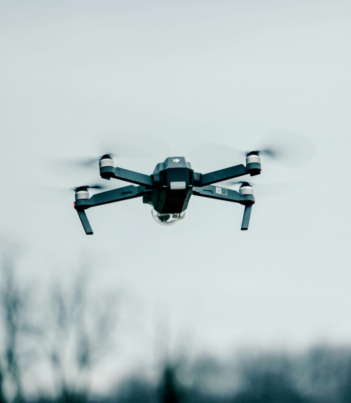
How Drone Technology Enables Rapid Wildfire Risk Management
Drones equipped with high-resolution cameras and thermal imaging sensors fundamentally change what utilities can inspect, how quickly they can inspect it, and how fast findings translate into field action.
Thermal Drone Inspections Reveal Hidden Equipment Issues
Thermal drone cameras detect temperature differences invisible to visual inspection. A connector operating 30-50 degrees above ambient temperature shows up clearly in thermal imagery, flagging it for immediate attention before it fails catastrophically.
Utilities operating in High Fire Threat Districts increasingly conduct thermal inspections multiple times per year during fire season rather than relying on single annual surveys. Flying circuits during peak demand periods or immediately following high-load events maximizes the probability of detecting thermal anomalies.
Comprehensive Visual Documentation at Scale
Drones can cover 20-40 miles of distribution circuit per day depending on terrain and flight planning, capturing high-resolution imagery of every pole, span, and piece of equipment.
This photographic documentation serves multiple purposes. It provides current condition baselines for infrastructure. It enables inspectors to review assets without field travel. It creates historical records that reveal degradation trends over time. And it provides documentation for regulatory compliance and potential litigation.
The Critical Role of Software in Fire Risk Reduction
Capturing drone imagery is only half the equation. The real value comes from how quickly that imagery translates into actionable information for operations teams.
From Photo-to-Dispatch in Hours, Not Weeks
In High Fire Threat Districts during fire season, speed matters enormously. A thermal anomaly identified today needs repair authorization tomorrow, not three weeks from now.
Software platforms designed for rapid workflows can process drone inspection data in hours. Automatic photo organization by GPS location, streamlined inspector review interfaces, built-in severity classification, and direct export to work order systems eliminate the manual bottlenecks that create delays.
Utileyes was specifically built to enable this rapid photo-to-dispatch workflow, reducing the time from image capture to crew notification to as little as 15 minutes compared to days or weeks with traditional approaches.
Ready to see how 15-minute photo-to-dispatch works? Schedule a demo to see the complete workflow in action.
Prioritization Based on Fire Risk
Not all findings require equal urgency. A thermal anomaly on a circuit traversing dense forest in a High Fire Threat District requires immediate response. A minor equipment issue on an urban circuit with minimal vegetation can be addressed during scheduled maintenance.
Inspection software needs to support risk-based prioritization that considers fire threat level, equipment condition, vegetation proximity, weather conditions, and asset criticality. This ensures the highest-risk findings receive attention first.
Integration with Fire Weather Data
Advanced approaches integrate inspection findings with real-time fire weather forecasts. When Red Flag Warnings are issued for specific regions, software can automatically flag all open inspection findings in affected areas for expedited review and response.
This proactive approach ensures that known equipment issues or vegetation concerns receive immediate attention when weather conditions create elevated fire risk.
Compliance Documentation and Regulatory Reporting
California and other states with significant wildfire risk have increasingly strict inspection and vegetation management requirements. Utilities must demonstrate compliance with specific inspection frequencies, clearance standards, and response timelines.
Comprehensive digital records of inspection activities, findings, and remediation actions provide the documentation necessary to demonstrate regulatory compliance. Time-stamped imagery, inspection reports with GPS coordinates, and work order completion records create an auditable trail of risk management activities.
Real-World Impact: Catching Problems Before They Become Fires
The value of rapid drone inspection workflows becomes clear when you consider specific scenarios:
Scenario 1: Overheated Transformer Bushing
A thermal inspection in June reveals a transformer bushing operating 45 degrees above normal temperature. The finding reaches operations within two hours of flight completion. A crew is dispatched the next morning and replaces the bushing before it fails.
Three weeks later, the region experiences a heat wave with temperatures above 105 degrees and sustained high winds creating Red Flag conditions. The transformer that would have likely failed during peak load operates normally.
Scenario 2: Vegetation Growth Near Conductor
April drone flights document a tree branch maintaining eight feet clearance from a distribution conductor. July flights of the same circuit show clearance reduced to four feet. The growth rate indicates the branch will violate the six-foot regulatory minimum within 30 days.
Trimming is scheduled and completed before the branch reaches critical proximity. In August, high winds would have brought that branch into contact with the conductor, but the vegetation is no longer present.
Scenario 3: Damaged Crossarm After Storm
A windstorm on a Friday night damages multiple structures across a service territory. Saturday morning, drone teams survey priority circuits in High Fire Threat Districts. By Saturday afternoon, operations has documented damage assessments with specific pole locations and equipment status.
Emergency repairs on the most critical structures are completed by Sunday evening, removing fire risk before dry, windy conditions forecast for Monday arrive.
In each scenario, the combination of drone technology and rapid data management prevented potential ignition sources from remaining in the field during high-risk periods.
Want to implement rapid response workflows like these? Contact our team to discuss your specific fire risk management needs.
Building a Fire Risk Reduction Program Around Drone Inspections
Utilities serious about wildfire risk reduction should consider these strategic priorities:
Increase Inspection Frequency in High Fire Threat Districts
Annual inspections are insufficient in fire-prone areas. Consider quarterly or even monthly drone surveys during fire season of circuits in the highest-risk zones. The incremental cost of additional drone flights is minimal compared to the liability risk of missing developing problems.
Implement Seasonal Thermal Inspection Programs
Conduct thermal drone inspections during peak load periods in the months leading up to fire season. This identifies equipment operating outside normal parameters before hot, dry, windy conditions arrive.
Establish Rapid Response Workflows
Speed from inspection to repair authorization must be measured in hours or days, not weeks. Inspect on Monday, review findings by Tuesday, authorize repairs Wednesday, complete critical work by Friday. This requires both appropriate software tools and organizational commitment to prioritized response.
Integrate Inspection Data with Operations Planning
Fire risk management shouldn't be siloed in the inspection department. Operations, engineering, and vegetation management teams need access to current inspection findings to inform decision-making about circuit de-energization, maintenance prioritization, and resource allocation.
Document Everything
Comprehensive records of inspection activities, findings, and corrective actions are essential both for managing risk and for demonstrating reasonable care in potential litigation. Every circuit mile inspected, every finding documented, every work order completed contributes to the evidence that your utility took wildfire risk seriously.
Why Utileyes Supports Fire Risk Reduction
We built Utileyes specifically to address the time gap between identifying problems and taking action. In High Fire Threat Districts, that time gap can be the difference between catching an issue and causing a catastrophic fire.
Our platform's 15-minute photo-to-dispatch workflow means thermal anomalies and vegetation concerns reach operations teams immediately, not days or weeks later. Automatic photo organization, intuitive inspection interfaces, and instant export capabilities eliminate the manual delays that slow traditional systems.
One of our co-founders also co-founded one of the top drone service providers in the country. We understand both the operational realities of conducting large-scale drone inspections and the urgency that utility operations teams face in fire-prone regions.
Utileyes was designed for situations where speed matters, where inspection findings need to translate into field action fast, and where documentation and compliance are non-negotiable requirements.
The Stakes Have Never Been Higher
Wildfire liability has fundamentally changed utility risk management. The question is no longer whether to invest in better inspection technology and workflows, but how quickly utilities can implement programs that actually reduce ignition risk.
Traditional inspection methods and slow data management workflows are increasingly indefensible in regions with significant fire threat. When catastrophic fires occur and investigations reveal that utilities had inspection data identifying risks but moved too slowly to address them, the liability consequences are severe.
Drone technology and rapid inspection workflows provide utilities with the tools to identify and address fire risks proactively. The technology exists. The question is whether utilities will implement it with the urgency that wildfire risk demands.
Learn How Utileyes Supports Fire Risk Management
If your utility operates in fire-prone regions and wildfire liability is a concern, we should talk.
See how Utileyes handles thermal drone data, vegetation documentation, and rapid findings distribution to operations teams. We'll demonstrate the complete workflow using fire risk scenarios relevant to your service territory.
Have specific questions about implementing seasonal thermal programs, integrating with existing fire risk management processes, or regulatory compliance documentation? We'll discuss your specific situation and how Utileyes can support your wildfire risk reduction objectives.
At Utileyes, we're committed to helping utilities move faster from inspection to action. In fire-prone regions, that speed can prevent disasters and protect communities. Let us show you how it works.