If you are a line superintendent, you already know the pressure. Inspection backlogs are growing, your crew is stretched, truck rolls are expensive, and leadership wants more coverage with the same budget. Drones offer a real answer to all of that, but only if the program is set up correctly from the start.
This guide walks through what actually matters when launching an in-house drone inspection program from your position: who to involve, how to pick your starting point, what to look for in equipment and software, and how to measure whether the program is working.
Why the Line Superintendent Is the Right Person to Drive This
Drone inspection programs succeed or fail at the operational level, not in the boardroom. You know which circuits have the highest failure rates. You know where your crews are losing the most time on routine patrols. You know which areas are hardest to access and which post-storm assessments take days when they should take hours.
That operational knowledge is exactly what makes a drone program effective. A line superintendent who shapes the program from the ground up builds something that actually reflects field realities, rather than a technology deployment that looks good in a presentation but creates more work for the crews running it.
Getting the right internal stakeholders aligned early matters. Bring in IT and GIS early if you plan to integrate inspection data into your asset management or work order systems. Loop in your safety department before the first flight to align on protocols for flying near energized equipment. And make the case to operations leadership using the metrics they care about: truck roll costs, inspection turnaround time, and outage reduction.
Start With the Right Pilot Area
The most common mistake utilities make when launching a drone program is trying to cover too much too soon. Starting with a large territory overloads a new team, makes it hard to measure results, and creates quality problems that can undermine buy-in for the broader program.
A smarter approach is to pick one manageable area where the program can prove its value quickly. Good candidates for a pilot area include a single feeder or circuit with a history of frequent outages, a section that is difficult or costly to access by truck, a high-fire-risk circuit where more frequent monitoring matters, or a zone that currently relies on outsourced inspection where cost comparison is straightforward.
The goal of the pilot is to run the full workflow end-to-end: fly, upload, inspect, tag anomalies, generate a report, and dispatch crews based on the findings. Document every step and measure what changed compared to your previous approach.

Cross-Training Your Own People
One of the strongest arguments for building an in-house drone program is that your linemen and field techs already understand the infrastructure. A journeyman lineman who knows how to read a crossarm failure, identify a problem insulator, or spot a vegetation clearance issue is a far better drone inspector than an outside pilot who has never worked around energized distribution equipment.
The Southeast Lineman Training Center and similar institutions offer drone certification courses specifically designed for the utility industry, preparing candidates for FAA Part 107 while also covering wire environment risk mitigation and inspection methodology. Getting one or two of your existing people certified as pilots is typically faster and less expensive than most line superintendents expect.
You do not need a dedicated drone pilot on staff. Most programs start with linemen or field techs who take on drone operations as part of their regular role. As the program scales, you can train additional operators or designate a small team focused on flying, while the broader crew shifts to reviewing inspection data and acting on findings.
Equipment: Match the Platform to Your Inspection Goals
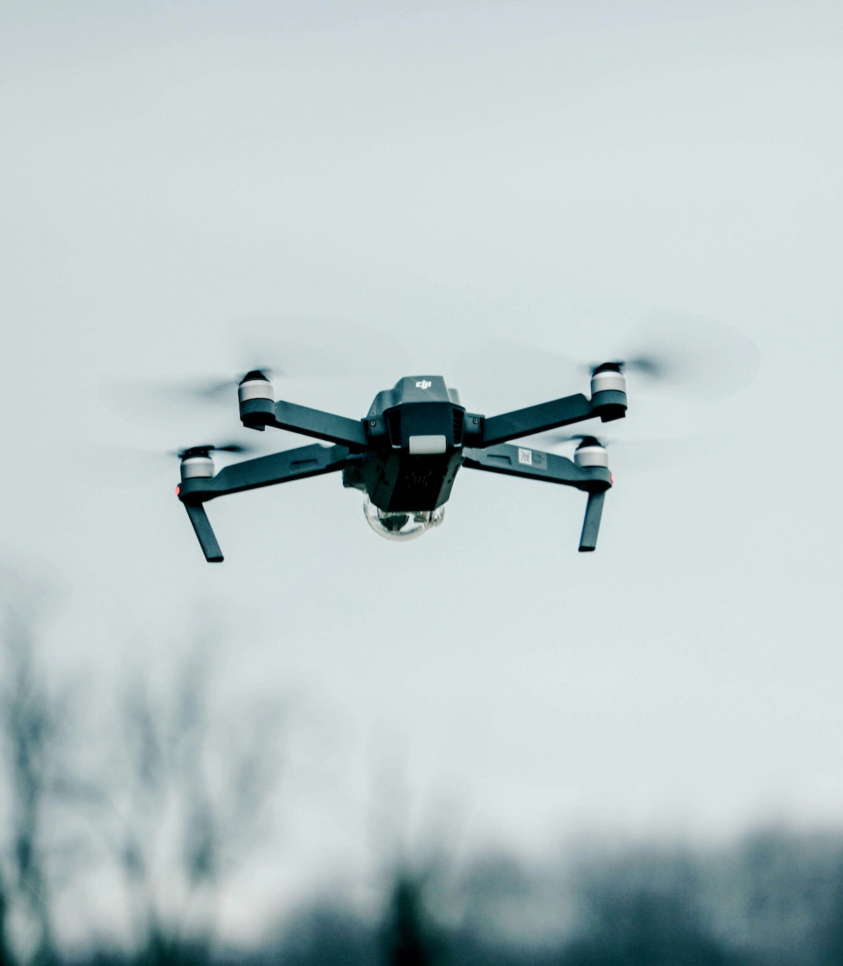
For distribution line inspection, a reliable mid-range multirotor drone with RGB and thermal imaging capability is sufficient to start. Platforms like the DJI Matrice series support both visual and thermal payloads and are widely used in utility programs across the country. You do not need the most expensive platform on the market to run an effective distribution inspection program.
The more important decision is the sensor configuration. RGB cameras capture structural condition and hardware defects. Thermal cameras detect overloaded connections, failing components, and hotspots that precede equipment failure or fire ignition. For most distribution programs, a drone that handles both is the right starting point.
Make sure every drone in your fleet has GPS metadata embedded in its image files. That metadata is what allows inspection software to automatically organize photos by asset and location, which is the foundation of an efficient post-flight workflow.
Each drone used commercially must be individually registered with the FAA, and every aircraft must comply with Remote ID requirements. Build registration and compliance into your equipment procurement checklist before the first flight.
Choosing Software That Works for Field Operations
The software you choose will determine how much of the drone program's potential value actually reaches your field crews. A platform that is hard to learn, slow to process, or disconnected from your GIS and work order systems creates a bottleneck that negates the efficiency gains from flying.
What to look for from a field operations standpoint:
- Automatic photo organization by GPS and asset, so pilots are not spending days sorting images after every flight
- A visual flight assignment interface that lets you assign circuits and poles on a map quickly, without spreadsheet coordination
- Customizable inspection forms where severity tagging and anomaly categories reflect your utility's actual standards
- Fast report generation and export in formats that connect to your work order system
- Clear QA tools that flag mismatched or incomplete images before they reach the inspection queue
Utileyes Inspections was built specifically for this workflow, based on direct feedback from utilities who were frustrated with overengineered platforms that created as much work as they eliminated. The time from photos uploaded to a lineman dispatched with a prioritized work order can be under 15 minutes, which is the standard that matters when you are managing storm response or fire-season conditions.
Setting Up SOPs Before the First Flight
Standard operating procedures are not paperwork for paperwork's sake. They are what keep a new drone program consistent, safe, and legally defensible. Before your first operational flight, document the following at minimum:
- Pre-flight checklist covering aircraft inspection, battery status, airspace check, and weather assessment
- Emergency procedures for lost link, flyaway, or equipment failure
- Protocols for flying near energized equipment, including minimum safe distances and coordination requirements
- Image upload and labeling standards so every pilot follows the same file and naming conventions
- Incident reporting requirements, including the FAA obligation to report operations resulting in serious injury or property damage above $500
Your safety department should review and sign off on the SOP before field operations begin. Involving safety early also builds internal support for the program, which matters when you are asking operations leadership to commit budget.
Metrics That Demonstrate Value
The program will only sustain internal support if it produces results that can be measured and reported. Track these from your first pilot area:
- Structures inspected per day compared to your previous method
- Time from flight completion to report delivery to engineering or work order creation
- Number of anomalies found compared to the previous inspection cycle for the same area
- Truck rolls avoided due to drone-based condition assessment
- Cost per structure inspected compared to vendor pricing or traditional patrol costs
These numbers build the case for expanding the program, certifying additional pilots, and investing in additional equipment. They also give operations leadership the data they need to justify the program budget in subsequent years.
Scaling With Purpose
Once the pilot area has produced results you can document, the path to scaling is straightforward. Train additional pilots from your existing crew. Add circuits systematically, prioritizing areas with the highest risk profile or the worst inspection backlog. Refine your SOPs based on what you learned in the pilot. And make sure your inspection software can handle the additional volume without slowing down the review process.
Utilities using Utileyes Inspections have been able to scale from a single-circuit pilot to programs covering hundreds of miles of distribution line with the same core team, because the platform automates the steps that would otherwise require additional headcount as volume increases.
What This Looks Like in Practice
A program that starts right typically looks something like this: one or two certified pilots, a manageable pilot circuit, a reliable drone with thermal capability, and inspection software connected to your GIS and work order systems. Within the first 30 to 60 days, your team is running inspections, generating reports the same day as the flight, and dispatching crews based on prioritized anomaly data rather than a fixed rotation schedule.
The operational improvement is real and measurable from early on. What changes is not just efficiency. Your crews spend more time on corrective work and less time on patrols. Your engineering team gets better condition data earlier. And your leadership has documented evidence that the program is working, which is what funds the next phase of expansion.
Frequently Asked Questions
How many pilots do we need to start?
Most programs start with one or two. If your team is cross-training linemen or field techs, one certified pilot is enough to run a pilot area effectively. A second pilot gives you redundancy and allows the program to cover more ground as you scale. You do not need a dedicated full-time drone operator to get started.
How long does it take before the program starts producing ROI?
Most utilities see measurable cost savings within the first few months of a working pilot program. Reduction in outsourced inspection vendor spend, fewer truck rolls for routine assessments, and faster anomaly-to-dispatch timelines all contribute to ROI that shows up quickly in the operational budget.
What if our crew is resistant to adopting new technology?
Crew adoption is significantly easier when the people operating the drones are existing linemen and field techs rather than outside hires. Your crew already understands the infrastructure, which makes the inspection part of the workflow intuitive. The software needs to be simple enough that it does not add complexity, which is why platform choice matters. Overly complex systems are the primary cause of adoption failure in utility drone programs.
Do we need our own GIS data to get started?
Not necessarily. Platforms like Utileyes can generate mapping files from flight data, so you can launch a pilot program without a complete GIS build. Connecting fully to your GIS environment is valuable as the program matures, but it is not a prerequisite for the first flights.
Can we use drones for storm response, not just routine inspections?
Yes, and this is one of the highest-value applications. When a storm event hits, an in-house drone team can be in the air within hours, flying damage assessment on your most critical circuits and feeding findings directly to dispatch. That kind of same-day response is not achievable when you are waiting on an outsourced vendor to schedule and mobilize.