Somewhere between the drone landing and a crew getting the work order, most utility inspection programs lose two or three weeks. The photos exist. The defect is visible. Yet the finding sits in a folder while someone sorts files, matches images to poles, and types up a report by hand. That dead time is where reliability slips and fire risk grows.
The good news is the lag is a software problem, not a law of physics. What follows is a practical look at how powerline inspection software collapses the stretch from captured photo to dispatched crew, and how Utileyes gets utilities there in about 15 minutes.
Quick Summary
- The biggest delay in powerline inspection is rarely the flying. It is the manual work that happens after the drone lands.
- Powerline inspection software shortens that delay by auto-sorting images, validating them, and routing findings straight to crews.
- Utileyes moves utilities from photo to dispatch in roughly 15 minutes, versus the three to four weeks a manual workflow takes.
- Same-day, GPS-matched image organization removes the three to four days pilots often spend filing photos.
- Built-in quality assurance catches upload errors instantly, so teams avoid re-flights and rework.
- Severity tagging and CSV export into ArcGIS, ESRI, and work order systems turn findings into action without retyping.
- Utileyes was built by utility and drone operations veterans to close this exact gap.
Where the Time Actually Goes
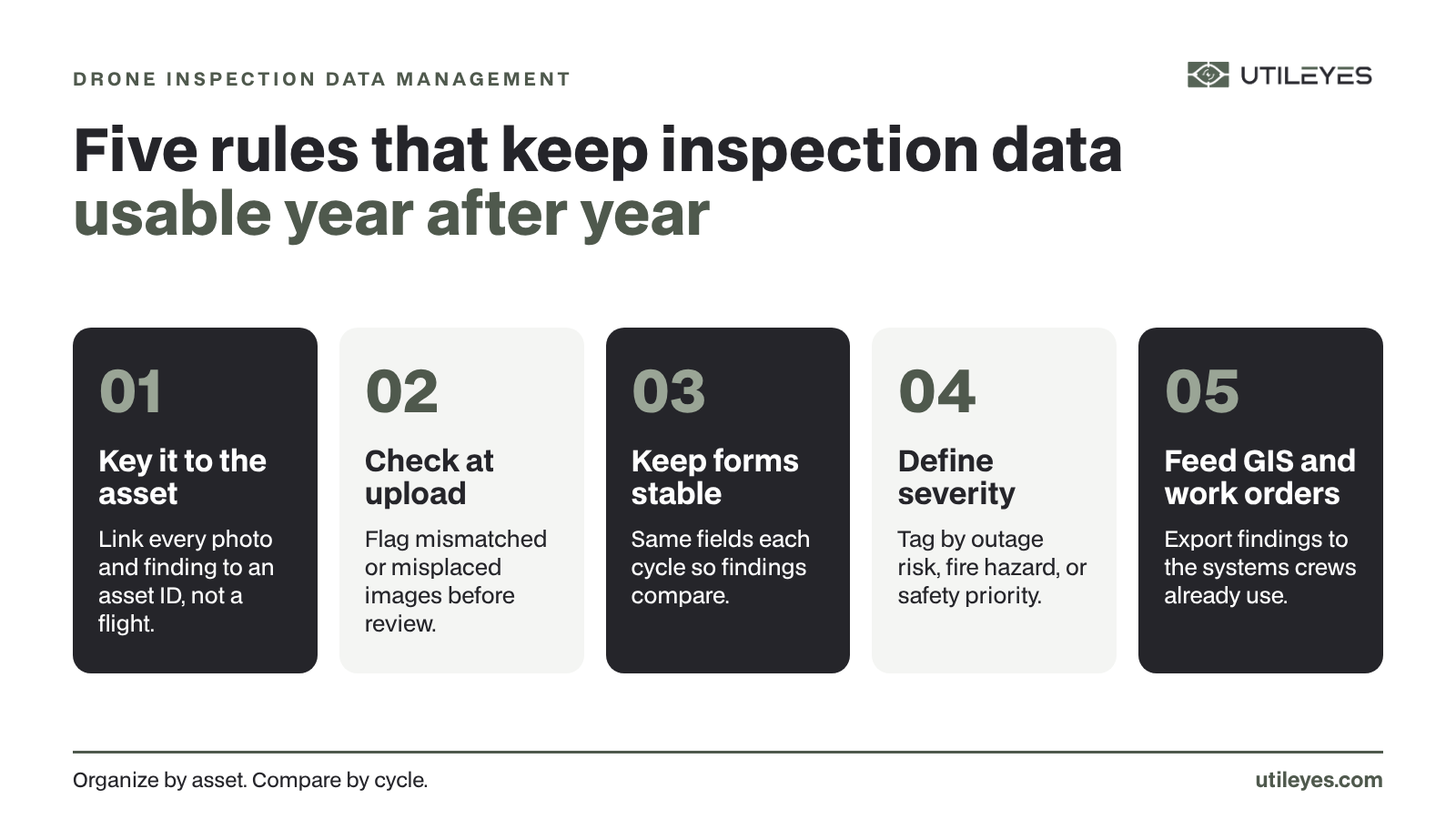
Ask an operations manager why an inspection finding took three weeks to reach a crew, and the answer is almost never the flight itself. A pilot can cover a hundred poles in a day. The pileup happens afterward.
First comes file organization, where someone manually matches thousands of images to the right poles and spans. On many platforms that alone runs three to four days. Then comes inspection, then report writing, then the handoff into a work order system, often by re-keying data from one tool into another. Each step adds days, and each handoff is a place where a finding can stall or get lost.
The total is a workflow measured in weeks. For a routine inspection that is wasteful. For a fire-season hazard, it is dangerous.
How Powerline Inspection Software Closes the Gap
Powerline inspection software shortens the photo-to-dispatch timeline by automating the manual steps between image capture and crew assignment, validating data as it arrives, and feeding findings directly into the systems crews already use. Instead of treating organization, inspection, and reporting as separate manual jobs, the right platform threads them into one continuous flow.
Utileyes builds this around a nine-step workflow: asset mapping, flight assignment, preloaded flight plans, auto-organized uploads, built-in QA, customizable inspections, severity tagging, CSV export and integration, and executive dashboards. The early steps remove setup friction, the middle steps remove sorting and rework, and the final steps remove the reporting and handoff lag. Strung together, they replace weeks of stop-and-start labor with a single uninterrupted pass.
The Steps That Make Minutes Possible
Getting from a captured image to a dispatched crew in minutes comes down to a defined sequence. Here is how that sequence runs inside Utileyes.
- Map your assets. Drop in KML, CSV, or existing GIS data, and the platform overlays your poles and spans onto a 3D topographic map. No rebuilding maps from scratch.
- Assign flights visually. A lasso tool lets you drag across poles and allocate them to pilots in seconds, so crews know exactly where to go.
- Load flight plans. Pilot-ready plans generate in one click and sync with ArcGIS and ESRI, putting the route and assignments on a single screen.
- Auto-organize uploads. As images upload, GPS metadata matches each one to its asset and the system sorts them, leaving the set inspection-ready the same day.
- Run built-in QA. The platform validates images against mapped assets, flags any mismatch instantly, and offers a one-click fix so no one re-flies the route.
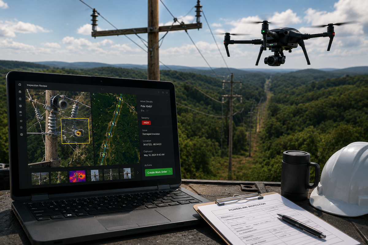
- Inspect and tag severity. Inspectors review images and thermal scans, then tag issues by outage risk, safety hazard, or fire mitigation.
- Export and dispatch. Clean CSV data flows straight into your work order system, turning a finding into a crew assignment without manual report writing.
That last handoff is where the weeks evaporate. With the prior steps automated, the move from inspection finding to crew assignment takes minutes.
What 15 Minutes Actually Means
The headline number deserves a plain explanation. Fifteen minutes refers to the span from image capture to an actionable, dispatch-ready work order, depending on how complex the inspection is.
Set that against the traditional baseline. A conventional powerline inspection workflow takes three to four weeks to reach the same point. Utileyes compresses it to roughly 15 minutes, a reduction of around 90%. The platform also reports an 85% drop in manual processing time and a 95% reduction in data organization errors, which is what makes the speed repeatable rather than a one-off best case.
For a utility, the practical payoff is reaction time. A hazard found in the morning can have a crew assigned before lunch, which matters most during storm recovery and high fire-risk windows.
Why Manual Photo Sorting Is the Real Bottleneck
If you want to find the single biggest source of delay, look at what happens to the photos right after the flight.
- On many platforms, pilots spend three to four days organizing images before inspection can even start.
- Manual matching of images to poles is slow and error-prone, and mistakes often surface only later.
- Re-flights become necessary when bad files are not caught early, adding days and cost.
- Reports get written by hand, then re-keyed into separate systems, multiplying the chances for delay.
- Each manual handoff is a point where a finding can sit unaddressed.
Utileyes removes these one by one. GPS-based auto-sorting eliminates the multi-day filing step, built-in QA catches errors at upload, and CSV export removes the manual report-and-rekey cycle. Take out the manual steps and the bottleneck disappears with them.
Built for Powerline Work, Not Adapted to It
A general-purpose drone platform can store powerline photos, but it was not shaped around how utilities actually inspect a line. That difference shows up in the details.
Utileyes was created by people who spent close to a decade inside utility drone operations, working alongside linemen, ops managers, and pilots. The workflow reflects that origin: severity categories map to outage and fire risk rather than generic labels, flight plans align with the GIS systems utilities already run, and the whole flow is tuned to the reality that a finding only matters once a crew acts on it. Adoption tracks that focus, with the company reporting 95% of users proficient in under a day.
Turning Speed Into a Standing Advantage
The case for fast powerline inspection software comes down to a simple chain. The delay between a photo and a dispatched crew is where reliability erodes and fire hazards grow, that delay lives almost entirely in manual post-flight work, and software that automates sorting, validation, and handoff erases most of it. Utileyes pulls the timeline from weeks down to about 15 minutes by owning every step from mapping to dispatch.
If your program still loses days to file organization and hand-typed reports, the fastest improvement is not a better drone. It is closing the gap that sits between the flight and the fix.
The clearest way to see whether the 15-minute claim holds for your operation is to run your own route through it. Schedule a demo, bring a real inspection scenario, and time the trip from captured image to dispatch-ready work order yourself. Contact us Today, info@utileyes.com.
Frequently Asked Questions
What is powerline inspection software?
It is a platform that manages the full powerline inspection workflow, from flight planning and image capture through organization, anomaly review, and crew dispatch. The aim is to convert aerial images of poles, conductors, and hardware into actionable work orders quickly.
How fast can you go from a drone photo to dispatching a crew?
With Utileyes, the trip from captured image to a dispatch-ready work order takes about 15 minutes, depending on inspection complexity. A traditional manual workflow typically takes three to four weeks to reach the same point.
Why do manual powerline inspections take so long?
Most of the delay comes after the flight, not during it. Manually sorting thousands of images, matching them to poles, writing reports by hand, and re-keying data into separate systems can stretch a single inspection into weeks.
Does powerline inspection software integrate with GIS and work order systems?
Yes, and that integration is what keeps findings from getting stuck. Utileyes syncs flight plans with ArcGIS and ESRI and exports clean CSV data straight into work order systems, so a finding becomes a crew assignment without retyping.
Can a small team run powerline inspections this way?
It can. By automating image organization, quality checks, and reporting, the software lets a lean crew cover large stretches of line. Utileyes reports 95% of users reaching proficiency within a day, which makes a small in-house program practical.