A substation packs more critical, energized equipment into a small footprint than almost anywhere else on the grid, which makes inspecting it both essential and hazardous. Transformers, breakers, bushings, and connectors all degrade in ways that are invisible until they fail, and sending crews close to live gear to look for problems carries real risk.
Drones change that equation, but only when paired with software that can organize the data, surface the faults, and route repairs fast. For operations teams weighing how to inspect substations more safely and efficiently, here is what the software needs to do and how Utileyes approaches it.
Quick Summary
- Substation drone inspection lets utilities document energized equipment from a safe distance, reducing the need for crews to work near live gear.
- The software's core jobs are organizing imagery, surfacing thermal faults, ranking findings by risk, and dispatching crews quickly.
- Thermal imaging is central to substations, since heat is often the first sign of a failing connector, bushing, or transformer.
- Utileyes supports severity tagging during both image review and thermal scans, categorized by outage, safety, and fire risk.
- Automatic GPS-based organization makes images inspection-ready the same day instead of after days of manual sorting.
- Integration with ArcGIS, ESRI, and work order systems carries findings straight into crew assignments.
- Utileyes compresses the photo-to-dispatch cycle to about 15 minutes, versus the three to four weeks of a manual workflow.
Why Substations Demand a Different Inspection Approach
Substations concentrate risk. A single site can hold transformers worth millions, and a fault there can take down power across a wide service area. The density of energized equipment also means traditional inspection puts workers close to high-voltage hazards.
Manual substation inspection tends to rely on periodic walkdowns and handheld thermal readings, which are slow, expose staff to live equipment, and capture only a snapshot. Faults that develop between inspections can go unnoticed until they cause an outage or, in the worst case, an equipment fire.
Drones address the access and safety problem by capturing detailed imagery and thermal data from a safe standoff distance. The harder part, and where software earns its place, is turning that data into prioritized, actionable findings before a problem escalates.
What Substation Drone Inspection Software Should Do
Substation drone inspection software should let an operations team capture imagery and thermal data over energized equipment, organize it automatically, flag temperature and condition anomalies by severity, and move those findings into work orders without manual rekeying. The point is to shorten the distance between spotting a hot bushing and dispatching a crew to address it.
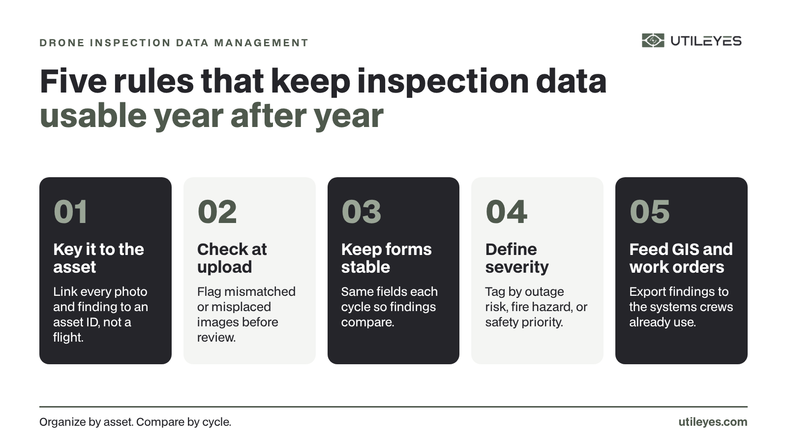
Utileyes is built around a connected workflow that supports this: mapping and flight assignment to plan coverage, auto-organized uploads to file imagery by asset, built-in QA to catch errors, severity tagging across image and thermal review, and CSV export into GIS and work order systems. For a substation, that means a thermal scan flown in the morning can become a prioritized repair assignment the same day rather than waiting on manual processing.
The Role of Thermal Imaging at Substations
Heat is the clearest early warning of electrical failure, and most of it is invisible to the eye. Loose or corroded connectors, overloaded conductors, failing bushings, and stressed transformers all run hot before they fail outright.
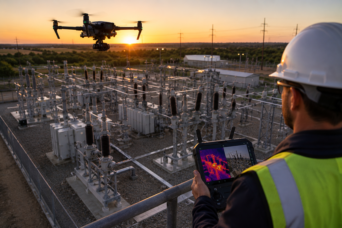
Thermal-equipped drones let utilities read those temperature signatures across energized substation equipment without a shutdown and without putting a worker at arm's length from live gear. Inside Utileyes, thermal scans feed the same severity-tagging system as standard imagery, so an inspector can flag a hot connector by fire or outage risk and route it for action immediately. Catching a high-temperature component before it fails under load is exactly the kind of save that protects both reliability and crew safety.
How a Substation Drone Inspection Workflow Runs
Moving from a planned flight to a dispatched repair follows a clear sequence. Here is how that runs for a substation using Utileyes.
- Map the site and assets. Upload existing GIS data or auto-generate asset points, then overlay substation equipment onto a 3D topographic map.
- Assign and plan the flight. Use the visual lasso tool to assign coverage, then generate a preloaded flight plan that syncs with ArcGIS and ESRI.
- Capture imagery and thermal data. Fly the substation at a safe standoff, gathering both RGB and thermal scans of energized equipment.
- Auto-organize the uploads. GPS metadata matches each image to its asset and the system sorts the set, ready to inspect the same day.
- Validate with built-in QA. Mismatched or misfiled images are flagged instantly, with one-click correction and no need to re-fly.
- Review and tag by severity. Inspect RGB and thermal images, tagging anomalies by outage risk, safety hazard, or fire mitigation.
- Export and dispatch. Push clean CSV data into your work order system so a flagged fault becomes a crew assignment without manual reporting.
With the upstream steps automated, the handoff from inspection finding to crew assignment takes minutes rather than weeks.
Benefits for Utility Operations Teams
The payoff of software-supported substation drone inspection shows up across safety, speed, and cost.
- Reduced exposure to live equipment, since crews capture data from a safe distance instead of working close to energized gear.
- Earlier fault detection through thermal scans that reveal heat anomalies before visible failure.
- Faster response, with findings reaching crews in about 15 minutes rather than three to four weeks.
- Consistent prioritization, as severity tagging ranks faults by the risks your team manages.
- Less manual labor, with Utileyes reporting 85% less processing time and 95% fewer organization errors.
- Cleaner documentation for compliance and capital planning, exported directly into existing systems.
Fitting Substation Inspections Into an Existing Program
Many utilities already run drone inspections on powerlines and poles, which makes substations a natural extension rather than a separate program. The same pilots, drones, and software workflow can cover substation equipment with the addition of thermal-focused flight patterns and inspection criteria.
Because Utileyes integrates with ArcGIS, ESRI, and work order systems already in place, substation findings flow into the same operational pipeline as line inspections. That shared workflow keeps training light, and with the company reporting 95% user proficiency within a day, operations teams can add substation coverage without standing up a new system or specialist role.
Bringing It Together for Your Operations Team
Substation inspection is where the stakes of slow, manual workflows are highest, because the equipment is dense, expensive, and dangerous to approach. Drone inspection software addresses that by capturing data safely, surfacing thermal faults early, and routing prioritized findings to crews fast. The features that matter most are thermal-aware severity tagging, automatic organization, and direct integration into the systems you already run.
Utileyes brings those capabilities together in one workflow and compresses the time from a captured image to a dispatch-ready work order to roughly 15 minutes. For an operations team, that speed is the difference between catching a hot transformer early and explaining an outage after the fact.
The practical next step is to test the workflow against your own site. Schedule a demo, bring a substation with equipment you want eyes on, and see how quickly a thermal finding becomes a work order your crew can act on. Contact us today, info@utileyes.com.
Frequently Asked Questions
What is substation drone inspection software?
It is a platform that manages drone-based inspection of substation equipment, from flight planning and image capture through organization, thermal and visual review, and crew dispatch. The goal is to document energized equipment safely and turn findings into prioritized work orders quickly.
Why use drones to inspect substations?
Drones let utilities capture detailed imagery and thermal data over energized equipment from a safe standoff distance, reducing the need for crews to work near live gear. They also enable more frequent inspections than manual walkdowns, which helps catch developing faults sooner.
How does thermal imaging help in substation inspections?
Thermal scans reveal heat signatures that signal failing connectors, bushings, transformers, and overloaded components before any visible damage appears. In Utileyes, thermal findings feed the same severity-tagging and dispatch workflow as standard images, so hot spots can be acted on immediately.
Does substation inspection software integrate with GIS and work order systems?
Yes, and that integration is what turns a finding into a repair. Utileyes syncs flight plans with ArcGIS and ESRI and exports clean CSV data into work order systems, removing manual rekeying between tools.
Can a team add substation inspections to an existing drone program?
It can. The same pilots, drones, and software used for powerline and pole inspections can extend to substations with thermal-focused criteria. Utileyes reports 95% user proficiency within a day, which keeps the addition low-friction for operations teams.