Utilities lost billions to wildfire damages last year.
A single faulty connector or overgrown tree branch can spark a disaster that destroys homes, lives, and your company's reputation.
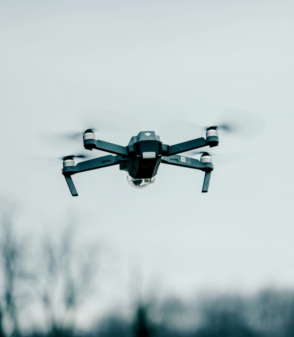
But here's what's changing: drone technology paired with smart wildfire mitigation inspection software is helping utilities spot fire risks weeks before they become emergencies.
The Growing Wildfire Threat to Power Infrastructure
Climate conditions are getting worse. Fire seasons are lasting longer. And utilities are facing unprecedented liability when their equipment sparks fires.
Traditional inspection methods can't keep up. When you're sending crews out in bucket trucks to check thousands of miles of line, you're always playing catch-up. By the time inspectors reach a problem area, conditions may have already deteriorated past the danger point.
Common fire risks that inspections miss:
- Vegetation growing too close to lines
- Overheating connections and equipment
- Damaged insulators and hardware
- Conductor sagging in high-risk corridors
How Wildfire Mitigation Inspection Software Works
Modern wildfire mitigation inspection software transforms raw drone footage into actionable intelligence. Here's the basic workflow:
- Drones capture thermal and visual imagery of power lines and equipment
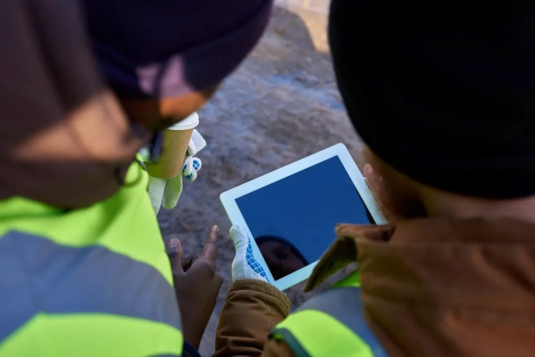
- Software automatically organizes photos by GPS location and asset
- Inspection tools flag heat anomalies and vegetation encroachment
- Reports prioritize repairs based on fire risk severity
The best part? This happens in hours, not weeks.
Thermal Detection: Your Early Warning System
Heat shows up before failure. That's why thermal drone inspections have become essential for fire prevention.
When a connection starts to fail, it gets hot. When equipment is overloaded, it gets hot. These temperature spikes are invisible to the naked eye but show up clearly in thermal imagery.
Wildfire mitigation inspection software can automatically flag these hotspots and rank them by severity. Your crews know exactly where to focus their efforts.
Building an Effective Fire Prevention Program
Starting a drone-based fire mitigation program doesn't require a complete overhaul of your operations. Smart utilities start small and scale based on results.
Focus on high-risk areas first:
- Circuits in Tier 3 fire zones
- Areas with recent vegetation growth
- Aging infrastructure near residential zones
- Regions with history of equipment-caused fires
Integration with Existing Systems
The right wildfire mitigation inspection software integrates with your current workflow. Look for platforms that:
- Export to your GIS and work order systems
- Support both thermal and RGB imagery
- Allow customizable inspection criteria
- Generate compliance reports automatically
This integration means your field crews can act on inspection findings immediately, not after weeks of data processing.
Real-World Fire Prevention Results
While we can't share specific statistics without verification, utilities using drone-based fire mitigation consistently report:
- Faster identification of vegetation threats
- Reduced emergency response costs
- Better prioritization of maintenance work
- Improved regulatory compliance documentation
The speed advantage alone makes a difference. When red flag warnings go up, in-house drone teams can inspect critical circuits the same day.
Making the Investment Case
Fire prevention isn't just about avoiding disasters—it's about operational efficiency. When you catch problems early:
- Planned maintenance costs less than emergency repairs
- Crews work safer conditions
- Customer satisfaction improves
- Insurance and liability costs decrease
The technology pays for itself through prevented outages and reduced emergency responses.
Getting Started with Wildfire Mitigation Inspection Software
You don't need to transform your entire inspection program overnight. Here's a practical approach:
- Identify your highest fire-risk circuits
- Run a pilot program in one area
- Track time savings and issues found
- Scale based on proven results
The key is choosing wildfire mitigation inspection software that grows with your program. Avoid platforms that require massive IT projects or lengthy implementations.
Take Action Before Fire Season
Every day without proper inspection coverage is a risk. Modern drone technology and inspection software give utilities the tools to get ahead of fire threats instead of reacting to them.
Whether you're exploring options or ready to implement, the time to strengthen your fire mitigation strategy is now—before the next heat wave or wind event tests your infrastructure.
Ready to see how drone-based fire prevention can protect your service territory?
Learn more about implementing wildfire mitigation inspection software that fits your utility's needs and budget.
FAQ’s on Wildfire Mitigation Inspection Software
How quickly can utilities detect fire risks using drone-based wildfire mitigation inspection software?
Within 24-48 hours of drone flights. The software automatically flags hotspots and vegetation issues, compared to weeks for traditional manual inspections.
What types of fire risks can thermal drone inspections detect that visual inspections might miss?
Overheating connections, failing equipment, and electrical resistance issues—all invisible to the naked eye but clear in thermal imagery. These heat signatures appear weeks before actual failure.
How much does wildfire mitigation inspection software typically cost compared to traditional inspection methods?
Most utilities see 50%+ cost reduction compared to manual inspections or outsourced services. ROI typically comes within the first fire season through prevented outages and fewer emergency repairs.
Can wildfire mitigation inspection software integrate with existing utility management systems?
Yes. Most platforms integrate with GIS, work order systems, and asset databases. Data exports directly, eliminating manual entry and speeding up crew response times.
What's required to start a drone-based fire mitigation program at our utility?
You need FAA-certified pilots (often trained lineworkers), drones with thermal cameras, and inspection software. Most utilities are operational within 30-60 days, starting with pilot programs in high-risk areas.